
Hiking the Prättigauer Höhenweg – Day 3

Schesaplana Hütte (1904m) – Cavelljoch (2239m) – Carschina Hütte (2220m) – St. Antönien (1416m), 24km, 1’050m up, 800m down!
The day started with a gorgeous sunrise and cloudless sky and made us feel warmer than the outside temperature of 0°C. Having a quiet breakfast before a group of school children from Lichtenstein arrived at the table, we put our backpack together for a long day hike. We were planning to reach Carschina Hütte (estimated for 5.5 hrs) and then go down all the way to St. Antönien (2.5 hrs), which means 24km in total, with roughly 1000m up and 800m down at the end : ((
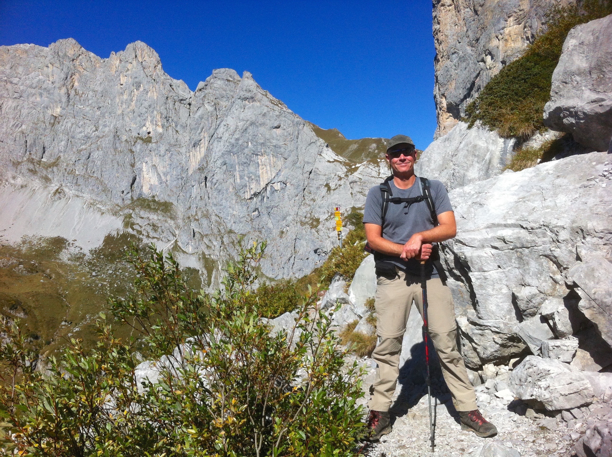
We have never done this stretch from Schesaplana Hütte to Carschina Hütte and we are looking forward to this very scenic trail with spectacular limestone cliffs such as Kirchlispitzen and Drusenfluh.
But when I put on my hiking boots I noticed that my shoelaces were torn out! It seems that my shoelaces could not stand my never-ending abuses in the Canadian Rockies, the 2-week hike in the Swiss Alps and other numerous walks. They were holding together but it was worrisome considering we had to do quite a distance with ups and downs in one day.

The air was fresh at 8 am in the mountains and the sky was clear. We set out in a full winter gear and hiked through the stones and rocks at the foot of the Schesaplana mountain range.

Cavelljoch (2239m) was today’s highest point at the border dividing Switzerland from Austria. The sign “Austria” stands at the pass where we looked down at Lünersee (Lake Lüner). Some snow patches were there after a recent cod spell. Then we continued just under the towering Kirchlispitzen.
Along the way there are beautiful mountains like the Sassauna or our home peak Chrüz in the south, and many more. The Rätikon region is very complex with lots of intertwined valleys. It is interesting to see the region from different perspectives.
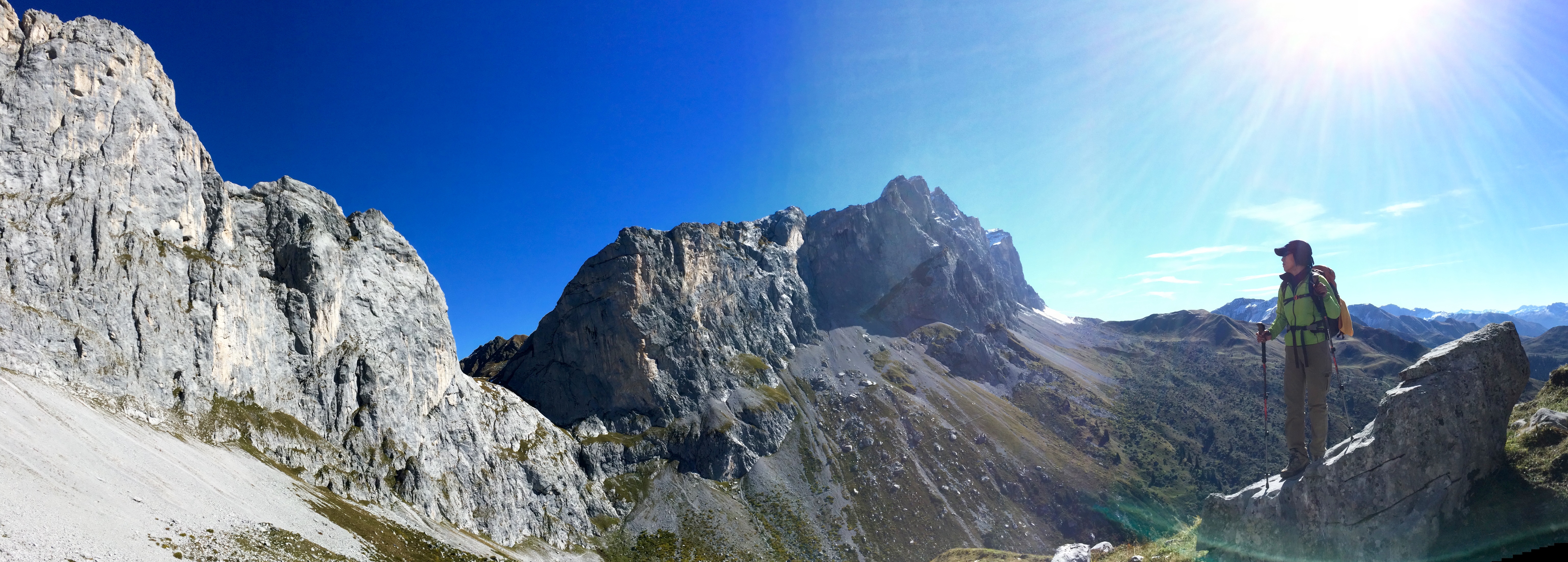
Very soon we could see distinctive Schweizertor (i.e. the Swiss door), which is caved in between two massive cliffs of Kirchlispitzen and Drusenfluh. It really looks like a door or gate, literally dividing Switzerland and Austria.
Afterwards we trailed just below the impressive Drusenfluh. The path was on the grey cliff slope and it looked dangerously narrow and steep from a distance, but it was much better than I had feared.

We hoped that Carschina Hütte would be around the corner but we had to go around two more mountains and small passes on the path of rocks and boulders : (
Arriving at Carschina Hütte around 3 pm, on the sunny terrace we enjoyed a sweeping view of all the surrounding mountains over a bowl of hearty soup – Hiking is a hungry business : ) After hanging out for almost one hour, we put ourselves together for another 2.5 hour hike down to St. Antönien. Everyone who arrived Carschina Hütte except us were overnighting at the hut and relaxing on the terrace.

We looked back at the Carschina Hütte and Sulzfluh many times to marvel at the amazing setting. Sulzfluh was shining under the late afternoon sun. The path continued, going down sharply to St. Antönien. Yasuko’s feet started aching under the relentless downhill and we were very happy when we finally arrived at the familiar, quaint village of St. Antönien.
Today we started at 8:10 am and arrived at St. Antönien at 18:00, a total of 10 hours on the trail! One of the longest hikes we’ve ever done.


Discover more from Fly, Hike & Travel.
Subscribe to get the latest posts sent to your email.
