
The Kyoto Trail Hike: Day 2

Kyoto Trail – Kitayama-East Day 2
Ohara to Kurama
After a delicious and substantial Japanese breakfast at our B&B and a pleasant chat with a friendly owner couple, we headed for Sanzen-In, another magnificent temple in Ohara. Read More

The Kyoto Trail Hike: Day 1

A two-day hike on the Kyoto Trail (the Kitayama East section) with my mountain buddy Sano-san.
Since I have heard of this trail in Fushimi Inari a couple of years ago, the Kyoto Trail was on my hiking to do list. Read More
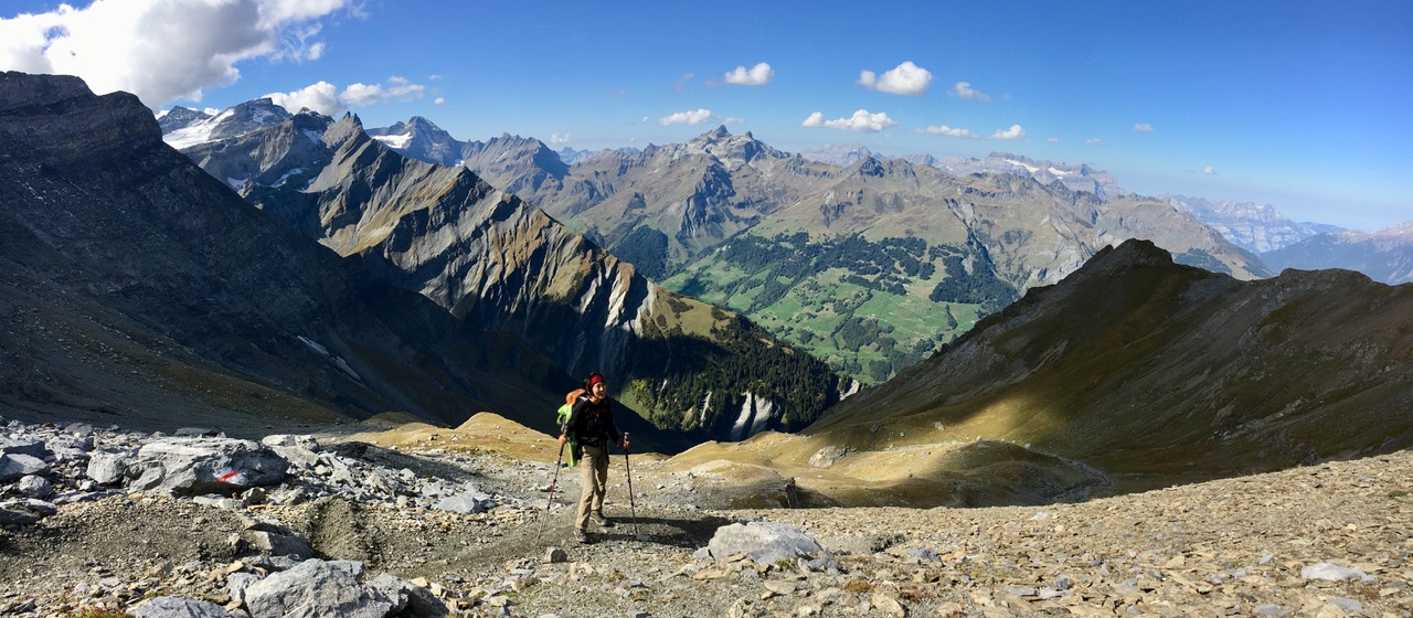
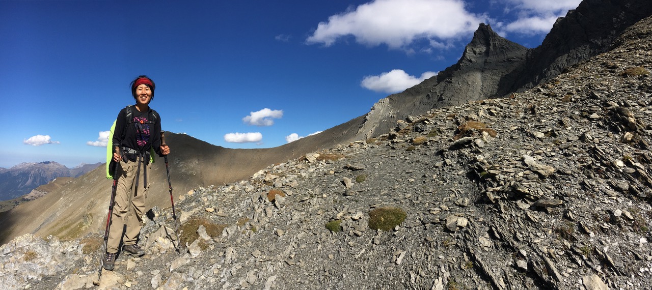
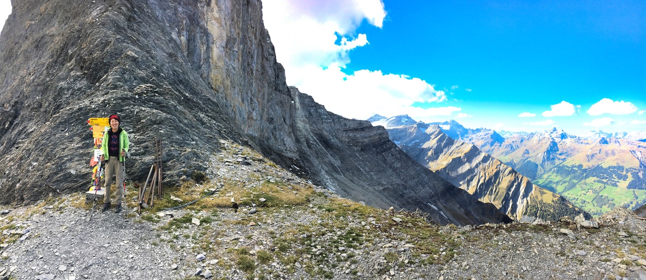
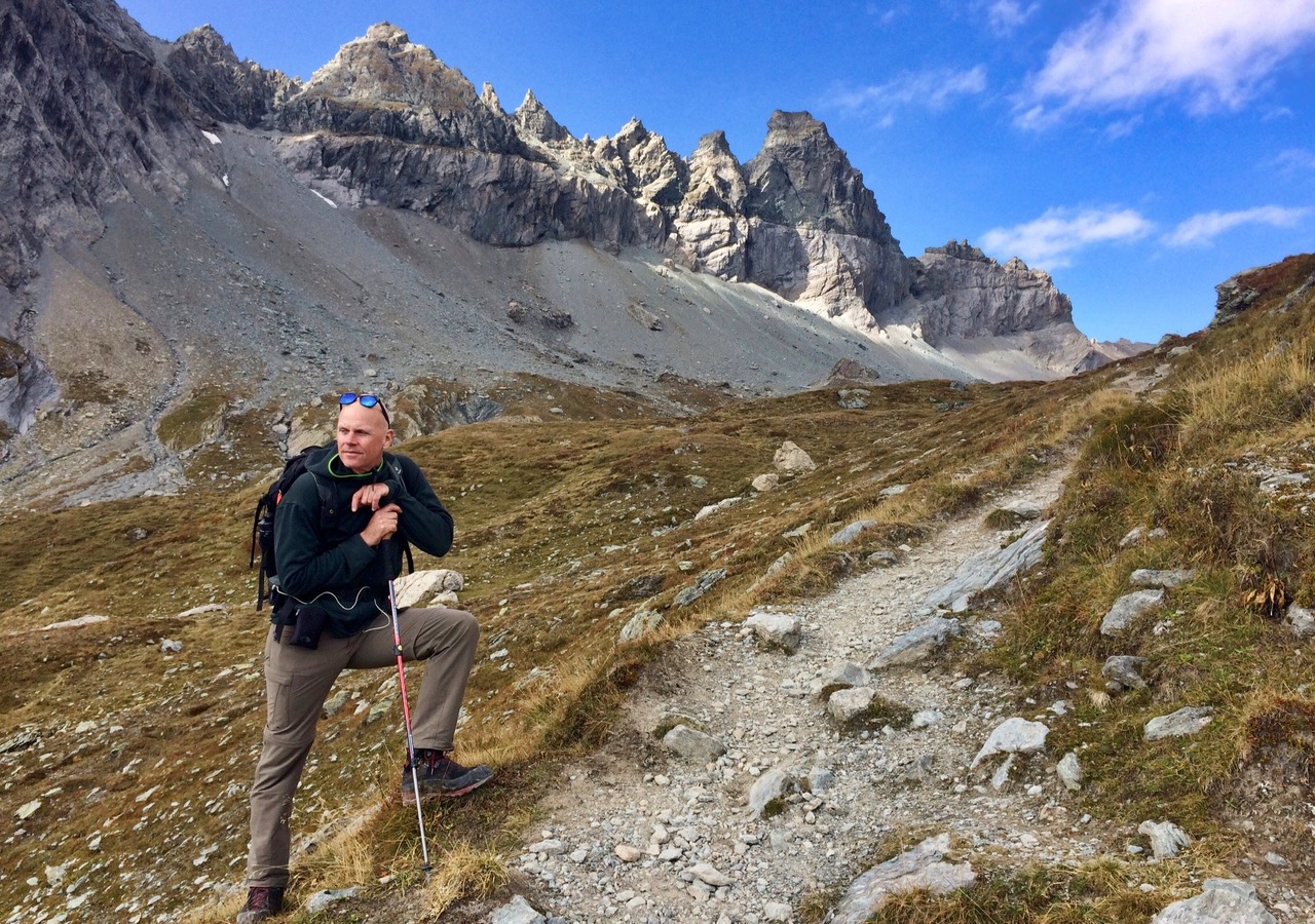
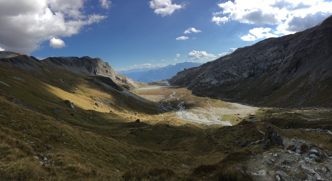
Autumn hike in Prättigau: Bergstation Fanas to Schuders

Eggli Bergstation 1700m – Stelli 1978m – Fadurer Mittelsäss 1839m – Fadur Obersäss 2020m – Fadurer Fürggli 2188m – Maiensäss – Schuders1272m
Distance: 17.2km // Ascent: 820m, Descent: 1270m // 6 hrs walking; 7hrs on the trail
A forlorn yet fantastic 6-hour trail from the foot of Sassauna to Fadurer Fürggli to Schuders. In mid-November we enjoyed the unusually sunny weather, witnessing the dramatic fog streaming into the Prättigau Valley like a waterfall. Read More
DIY FrSky Horus X10(s) Car Charger

This is for the X10(s), NOT the Express version.
For those familiar with electronics, here is the short version: Connect a 12V cigarette lighter adapter to one and a barrel plug to the other side of a step-up converter and your car charger is done. For all the others, read on… Read More
Pontresina

A fantastic hike in the Engadin with a sweeping view of the Silsee and Silvaplana. My first sighting of Piz Bernina (4049m), the highest peak in the Graubünden! Read More
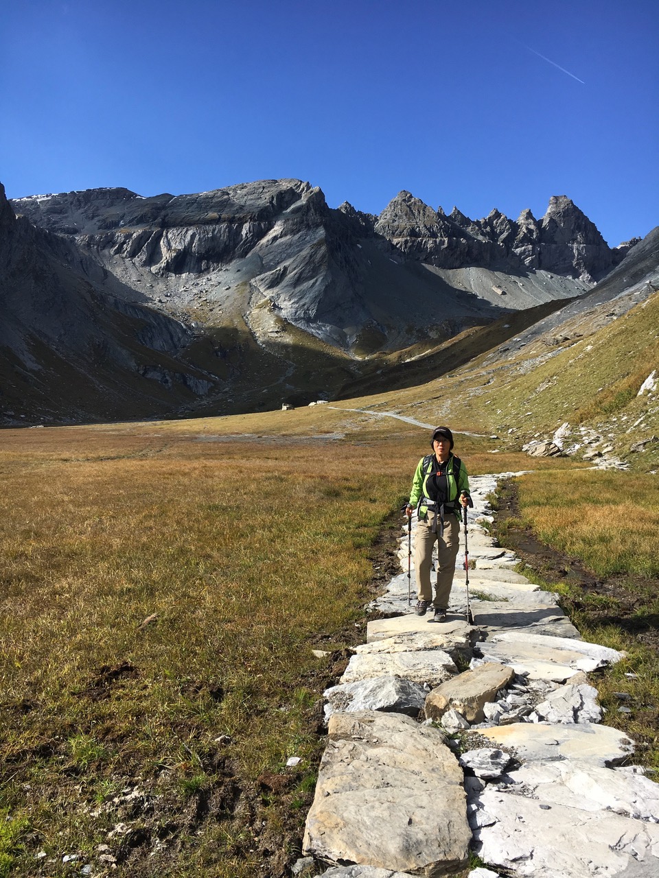
Val da Camp and Lagh da Saoseo

Sfazù (1622m) – Rifugio Saoseo – Camp – Lagh da Val Viola (2159m) – Val Viola (2258m) – Lagh da Saoseo (2028m) – Terzana – Sfazù (1622m)
Length: 15km / Ascent & descent: 773m / walking time: 5 hours
Arrived at Sfazù (1622m), today’s trailhead, by bus from Pontresina. The scenery to get there was already impressive. We passed by the glacier and went through the isolated, lonesome area of the very eastern corner of Switzerland. Read More
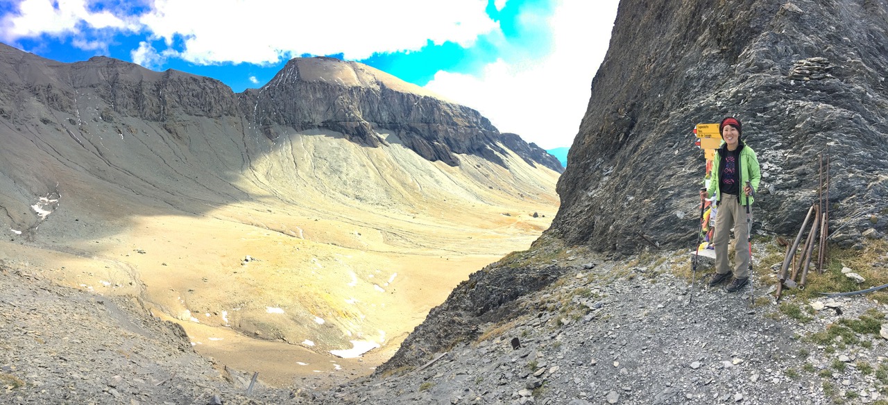
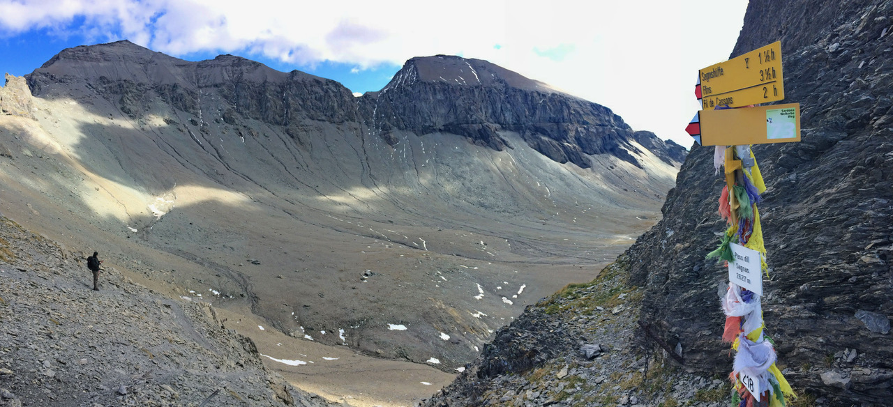
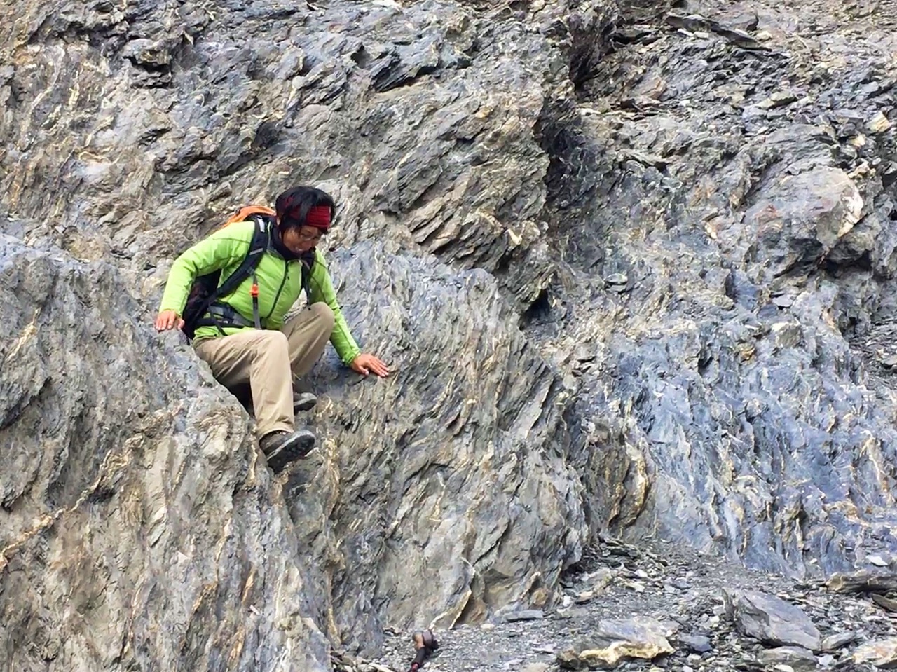
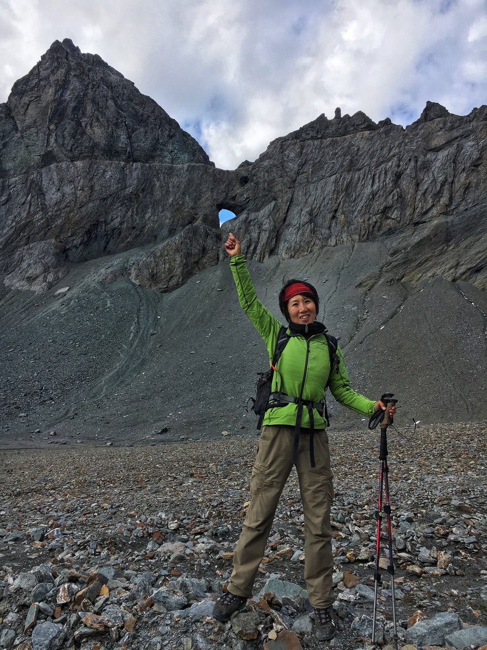
Martinsloch & Segnespass

Tschinglen (Elm), 1394 m – Segnespass 2625 m – Naraus (Flims) , 1838m
1200m ascent / 800m descent
Total hiking time: 6 hours (excluding lunch & snack breaks)
Total km: 12km – Average speed: Very, very slow…
A physically strenuous but spectacular hike over the famous Segnespass between Elm and Flims.

Edelweissweg & Wisshornweg (Trift)

Zermatt (1620m) – Alterhaupt Edelweiss (1961m) – Trift (2337m) – Schweifinen (2503m) – Zermatt / 900m ascent / 900m descent / 13 km / 6 hrs
After going through beautiful houses with balcony full of cheerful flowers in the east side of Zermatt, we found a path, leading steep uphill to the restaurant Alterhaupt Edelweiss. It perches on the rock above Zermatt, its white building visible from anywhere. Read More
Hiking to the Matterhorn: A Birthday Adventure

Certain that the Matterhorn is the most beautiful mountain in the world, Yasuko’s birthday wish was to spend a few days in Zermatt. Our friend Patrick generously offered us his studio, which boasts a stunning view of the majestic peak.
