
Via Alpina Rotstockhütte to Griesalp
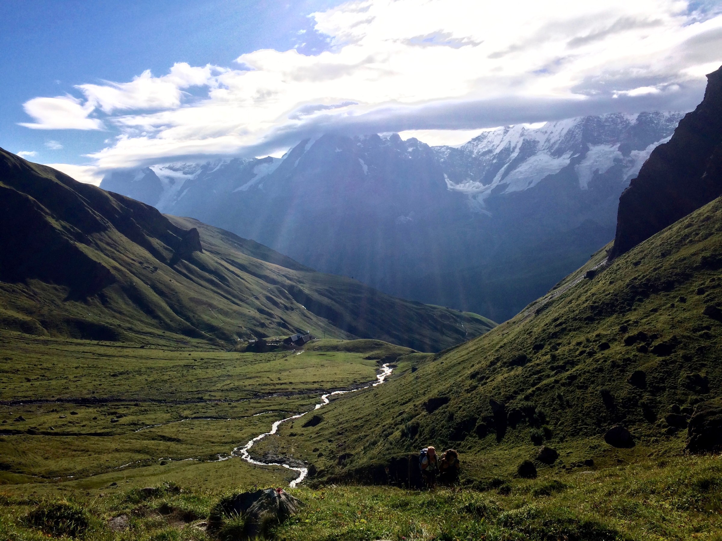
Via Alpina Section 12 – Part 2
Rotstockhütte (2019m) -> Sefinenfurgge (2612m) -> Griesalp (1408m)
10km, 600m up and 1500m down
After a night at the mountain hut, we woke up early. Every time someone went to the out-of-the house toilet at night, the wooden floor squeaked and the noise prevented us from a good night of sleep… We were nevertheless warm inside the hut and Caroline told me that the sky at night was amazingly starry!
Despite the lack of sleep, I was in the fresh morning air and happy to be in this fantastic alpine environment.
The breakfast tactics were simple. Absorb as much energy as possible in form of bread, cheese and hot chocolate to happily keep walking until our final destination Griesalp. There isn’t any restaurant on the way.
Today’s program: 4.5 hour of hiking including a serious 1,200m downhill stretch.
Leaving the hut behind, many other hikers were heading our way. A Dutch couple, three American men and two Swiss women steadily were climbing up the steep path. We could see the Schilthorn (2970m), famous for 007’s “On Her Majesty’s Secret Service”. From afar, the Schilthorn seemed to fall off from its own edge.

Looking back in the direction of our overnight hut, the northface of the Eiger with the Eigergletscher Station showed off its glory. Last year, I was standing at that station, admiring the Eiger peak.

On the way we stopped many times to rest and were delighted when Caroline spotted a steinbock high up on the slope!

The impressive peak in front of our hut, which we believed to be called “Rotstock” (in fact it was called just “Horn”) turned out to be sphinx-like from the other side.

From here, the uphill got quite strenuous. The green meadow changed to the slippery scree-covered steep slope. Just up and up!

We finally reached the Sefinenfurgge Pass (2612m), which was a very narrow pass. We were rewarded with a sweeping view of the Kiental Valley. It was all of a sudden getting cloudy and the cold wind was blowing over the pass. After enjoying the view for a short time and saying a goodbye to the Eiger and Jungfrau, we tightened our shoe laces to prepare for the long descent.


And not only was it a long descent but a super steep one with 45-degree steps! It looked like going down to the hell….
Nevertheless, I was grateful to those who took pains to make these wooden steps. Without them, we would have slid down this unfriendly scree slope…


Managing downhill steps, we jig-zagged on the moon-like surface. Other peaks and glaciers started appearing on our left side. This rugged landscape was forlorn and awe-inspiring.
After a while, the terrain changed to a more greener and friendlier surface. As Caroline is an Ikebana master and familiar with flowers, I had a pleasant little lecture on alpine flora.


Caroline was getting tired with going down 1200m, which is quite normal. So the moment we found a good-size rock to sit on, we made a stop, looking at the other side of the mountains and contemplating which pass we are going through the next day.

We were both happy to arrive in the early afternoon in Griesalp, a quaint hamlet, and to put our feet up at our old, beautiful hotel. It’s such a luxury to have a good hot shower and our own room for two, instead of no shower and sleeping in a room with 15 other hikers…..
Sitting at the terrace comfortably and having tea, we watched many hikers coming down. They as well seemed exhausted after a serious day of decent…

At dinner we shared a table with a solo hiker from Fribourg, Gido. Caroline coincidentally went to high school near his school and as it is often the case, we had a very enjoyable talk with a fellow hiker.
VIA ALPINA, Grütschalp to Rotstockhütte
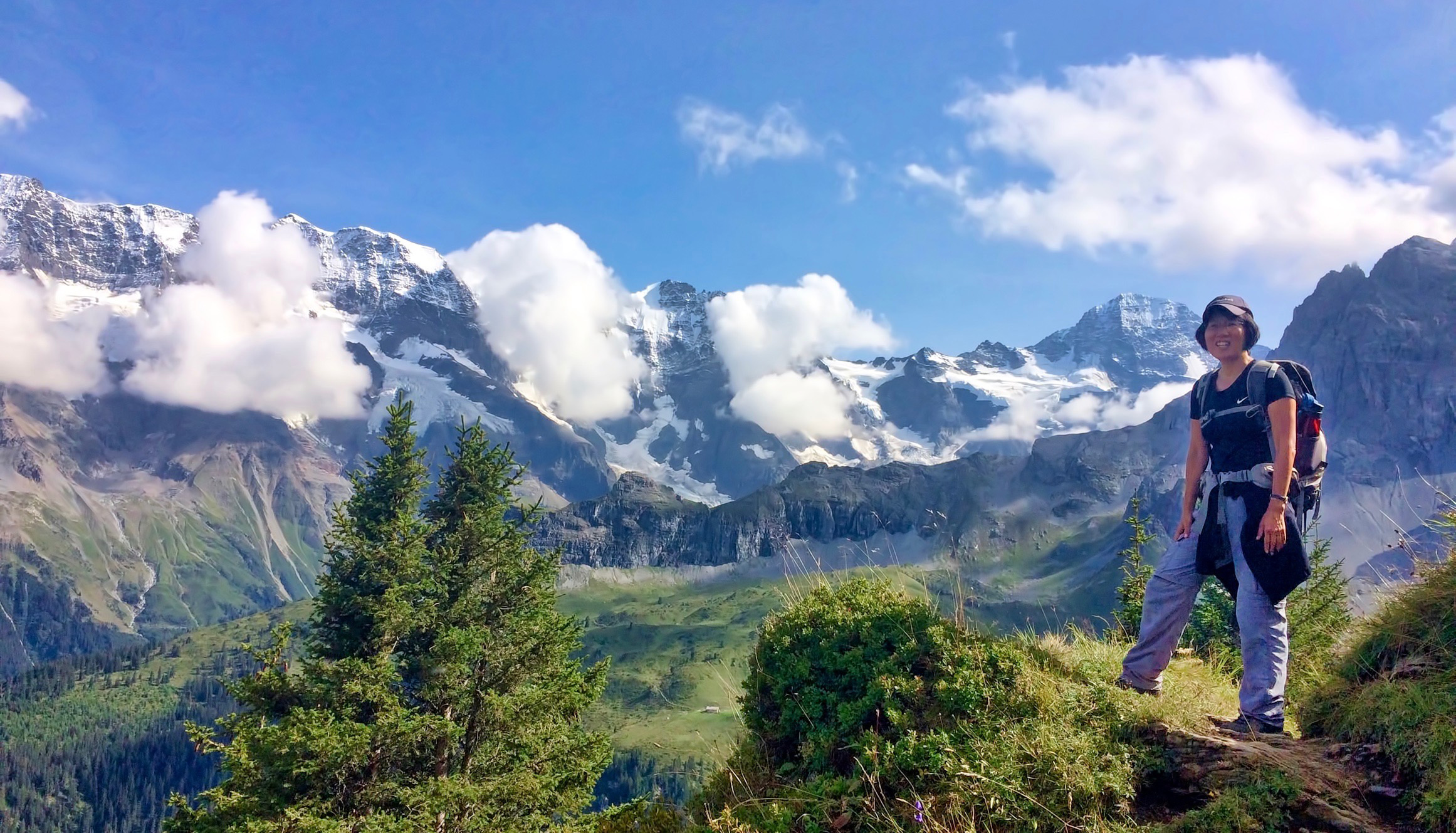
Via Alpina, Section 12 – Part 1
Grütschalp (1520m) -> Mürren (1638m) -> Bryndli (2133m) to Rotstockhütte (2019m), 10 km, 600m up
Back to the Via Alpina Route!
Last October I finished roughly half of the route (the Via Alpina is a trail of a total of 370km) and have long wanted to come back and pick up from where I left.
The image of shining Eiger, Mönch and Jüngfrau have been lingering in my head since then and was excited to come back to this magnificent region.
Today I have a new hiking companion for next three days, Caroline, who is in the same calligraphy class and as well an Ikebana teacher.
Arriving from Zurich by train, we wandered around the small, but pretty village of Lauterbrunnen, teeming with Asian, American, European and Middle-Eastern tourists. The narrow valley was sandwiched with imposing mountains and it already gave me an Alpin feeling!
We saw an impressive, tall waterfall from the train station so we decided to go and see it – the 300m-high Staubach Falls.

We hiked up to see the waterfall, walked through the tunnel and kind of watched it from behind. But we got out of it completely wet and had a good laugh looking at each other.

Then we took a cable car from Lauterbrunnen (802m) to Grütschalp (1520m) to gain 700m in altitude, to start for a relatively easy hike for the first day.

The trail from Grütchalp to Mürren (4.3km) is easy-going and scenic with fantastic views of Mönch and Jungfrau mountains (unfortunately Eiger was hidden behind the clouds). On the way we stopped for a nice lunch break at the restaurant terrace with a great view for the Bernese Oberland mountains.
The sun was shining and, surrounded by awesome mountains, I was all smiles having lunch with a good friend!

After going through busy Mürren lined with restaurants and hotels and a short walk on the asphalt road, a real hiking path started, leading into the verdant forest.
The Lauterbrunnen valley was opening up under us and after passing a charming and lonesome farm, all of a sudden it became a very steep ascent leading around the rocky mountain of Bryndli. The valley was 1000m below us, I tried hard not to look down and just concentrate on my steps…
After this challenging climb, to our relief, the trail became even and relatively easy. As we went slow during the first half, the afternoon had almost gone while the hut still seemed rather far away! At this altitude the air cools down quite a bit in the evening, so we rushed into the hut as we finally got there.

Caroline and I were happy to arrive at the hut at around 5:30 pm. Finally what we thought to become an easy-going walk, turned into a rather serious hike.

At dinner we shared our table with three friendly Americans from New York and Washington. One studied Zen and Japanese so we had an interesting talk over a typical Swiss dish of Alper Macaroni with apple mousse…
Modellsegelflug in Umbrien
Mit den Modellen Jedi Lift, Needle DSL und der Libelle auf dem Monte Catria bei bis zu 6 Windstärken in den Böen.
Koyasan Okunoin
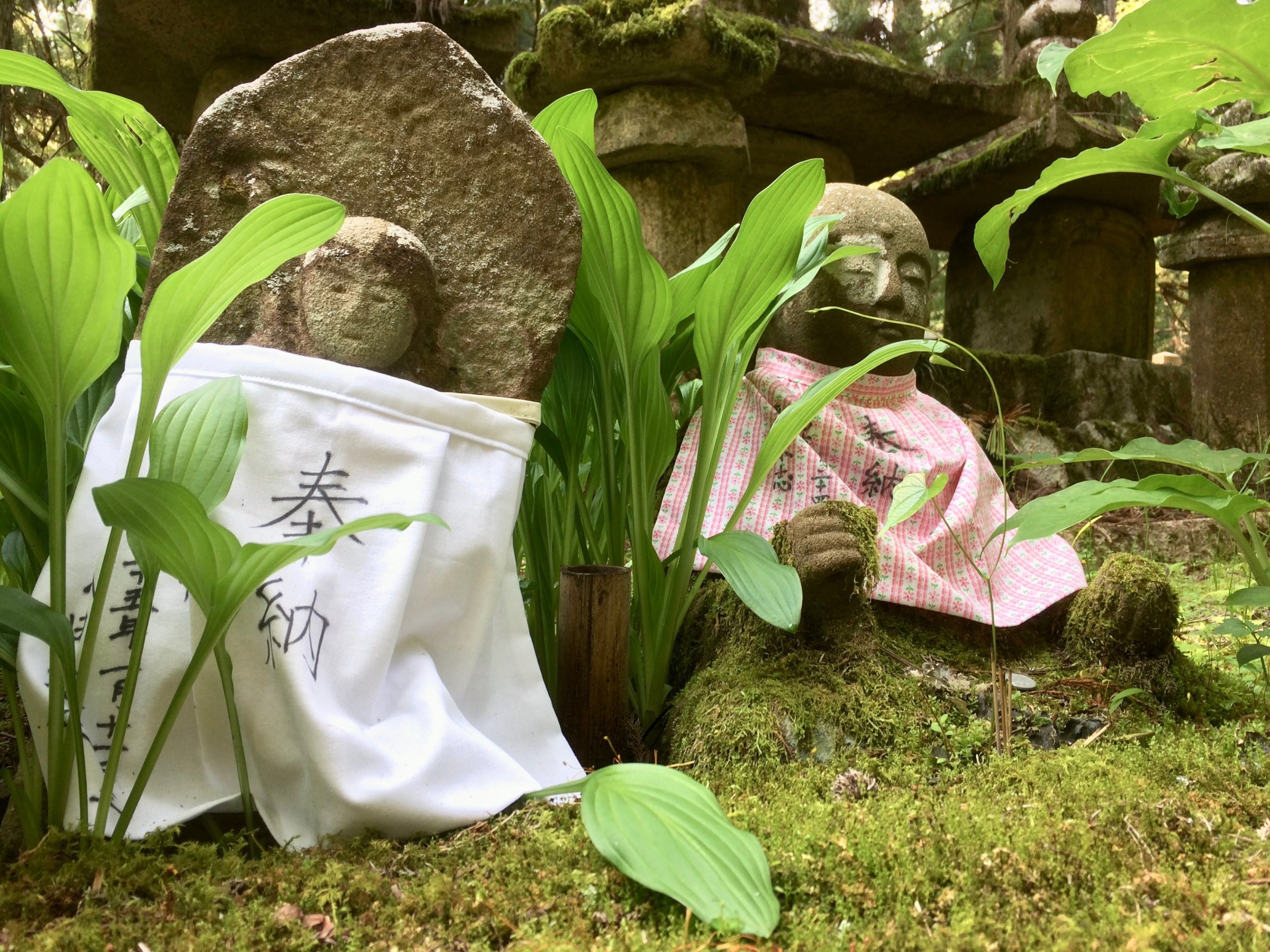
A mystic graveyard with over 20,000 gravestones in the midst of a towering cedar forest. Some graves are new but many are old and covered with moss. Some are forgotten and breaking apart. But surprisingly there is no sad atmosphere but a rather mystic one and then spooky at night..


Overnight at a temple, Jimeiin, in Koyasan

We stayed one night at one of the temples in Koyasan. Jimeiin is a quiet, serene temple with beautiful gardens.
We were welcomed by young monks and escorted to our traditional Japanese room, which overlooked two different, wonderful gardens. For dinner, a tasty tofu and vegetarian meal was served by monks and next morning we were also invited to participate in morning prayers at 6:30 am. We don’t need to be a Buddhist or to understand exactly what is happening. We can sit there quietly and simply appreciate that mystic and mysterious experience.


Koyasan
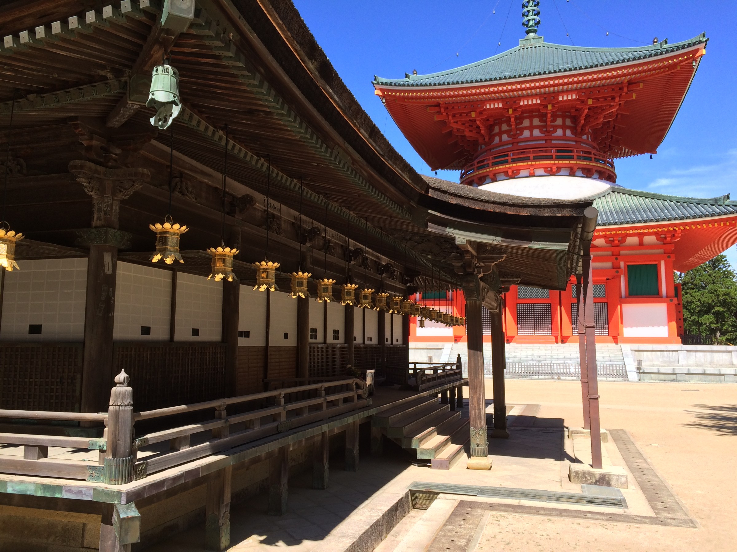
Koyasan is a beautiful Buddhist town with 117 temples and many more monks.


Kumano Kodō III
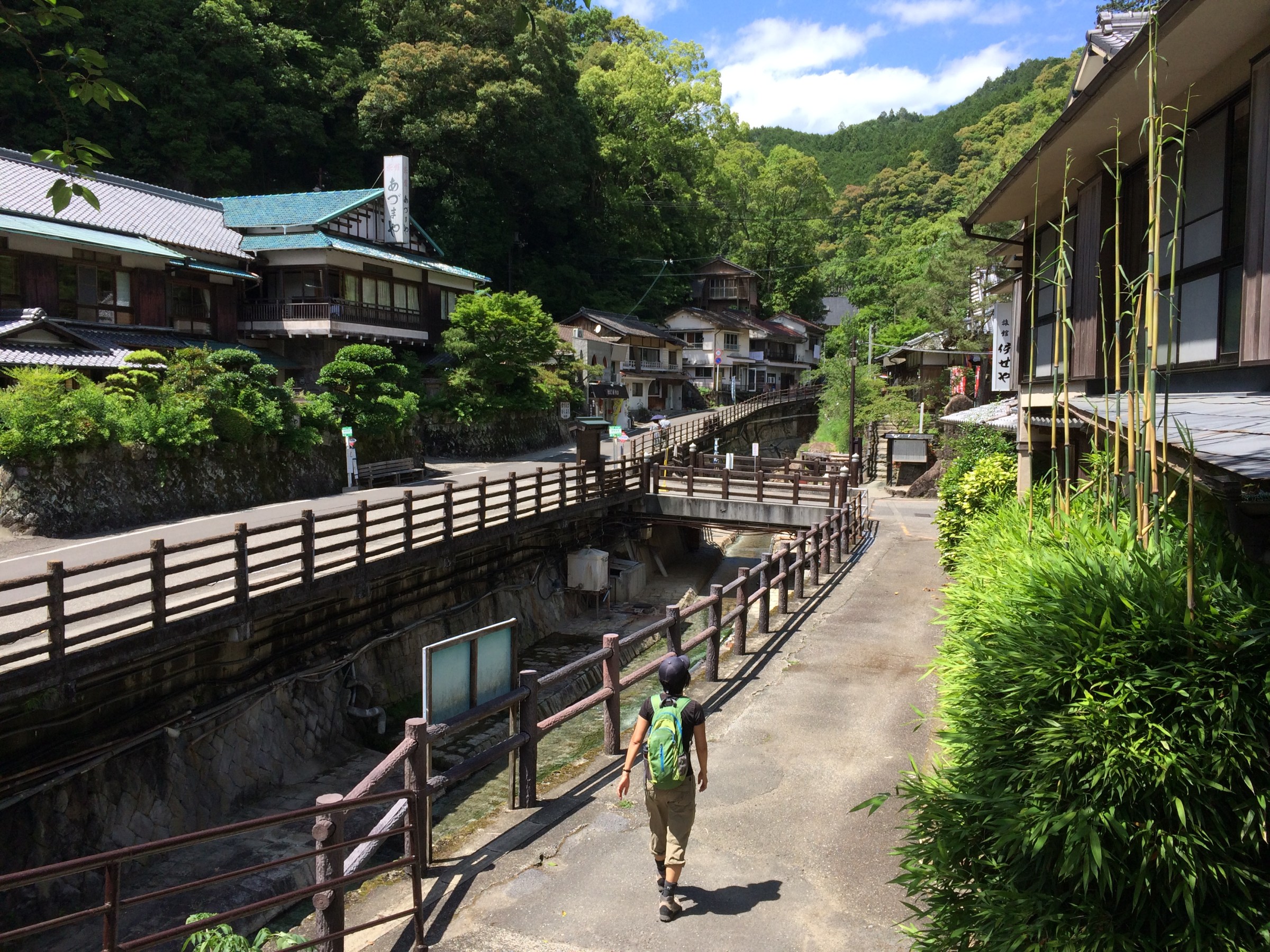
Kumano Kodō, from Hashinmon Oji to Hongu, stop at Yunomine Onsen.
We have been walking parts of the Kumano Kodo for two days and today is 3rd day.
Yunomine Onsen is a quaint World Cultural Heritage onsen village with hot water steaming down the river. Instead of soaking in a over-50 degree bath (obviously you need to add water), we put our feet in the downstream (still over 40 degrees), drinking beer and eating snacks. A simple, nice and relaxing experience.


Kumano Kodo II
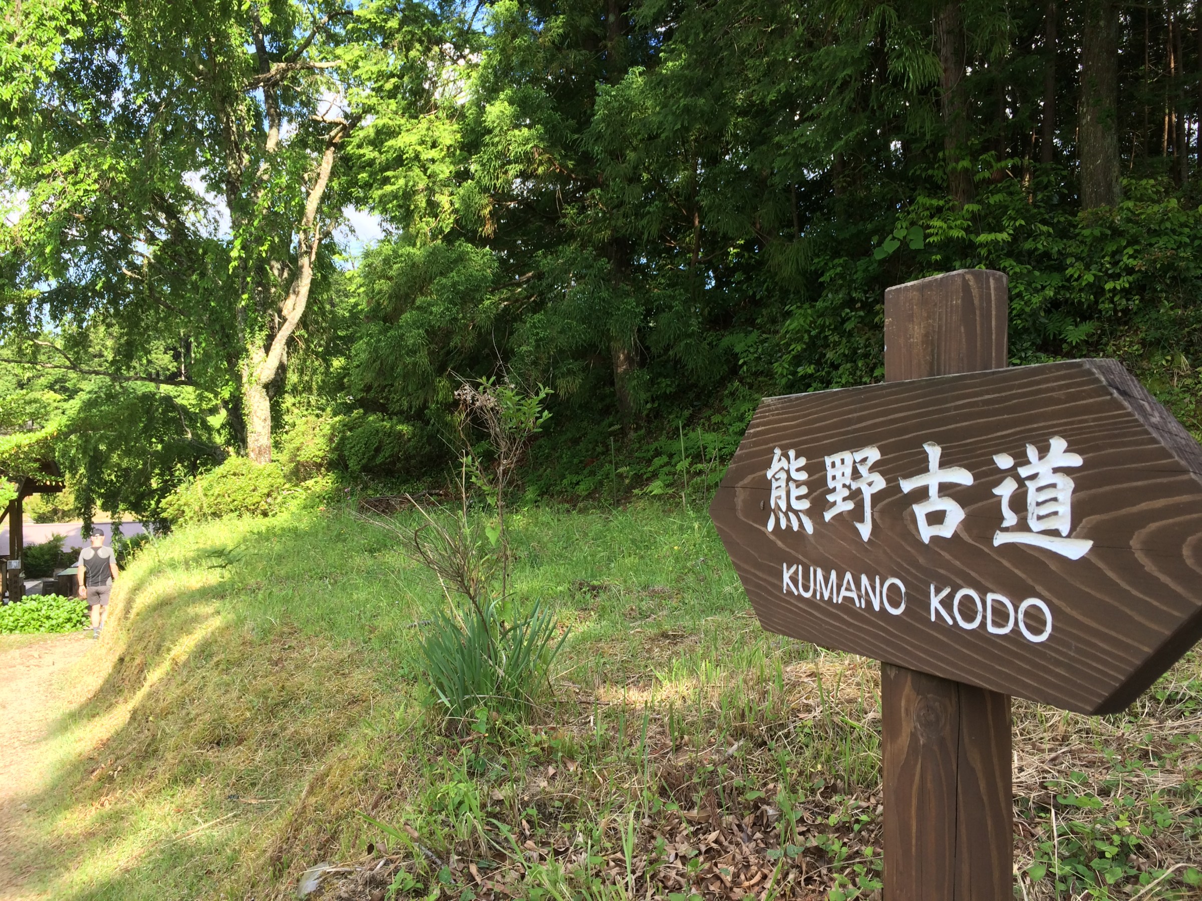
Kumano Kodo, from Hashinmon Oji to Kumano Hongu,
7km, 2h
Starting at 3 pm (due to some car problem), which is late and the over-careful tourism office recommend that we take a torch light, we walked through a very beautiful countryside dotted with hamlet and occasional tea plantation. We greeted some villagers and passed a couple of self-service stands which sell plum pickles and local tea.
We survived even without a torch light.


Kumano Hongū Taisha
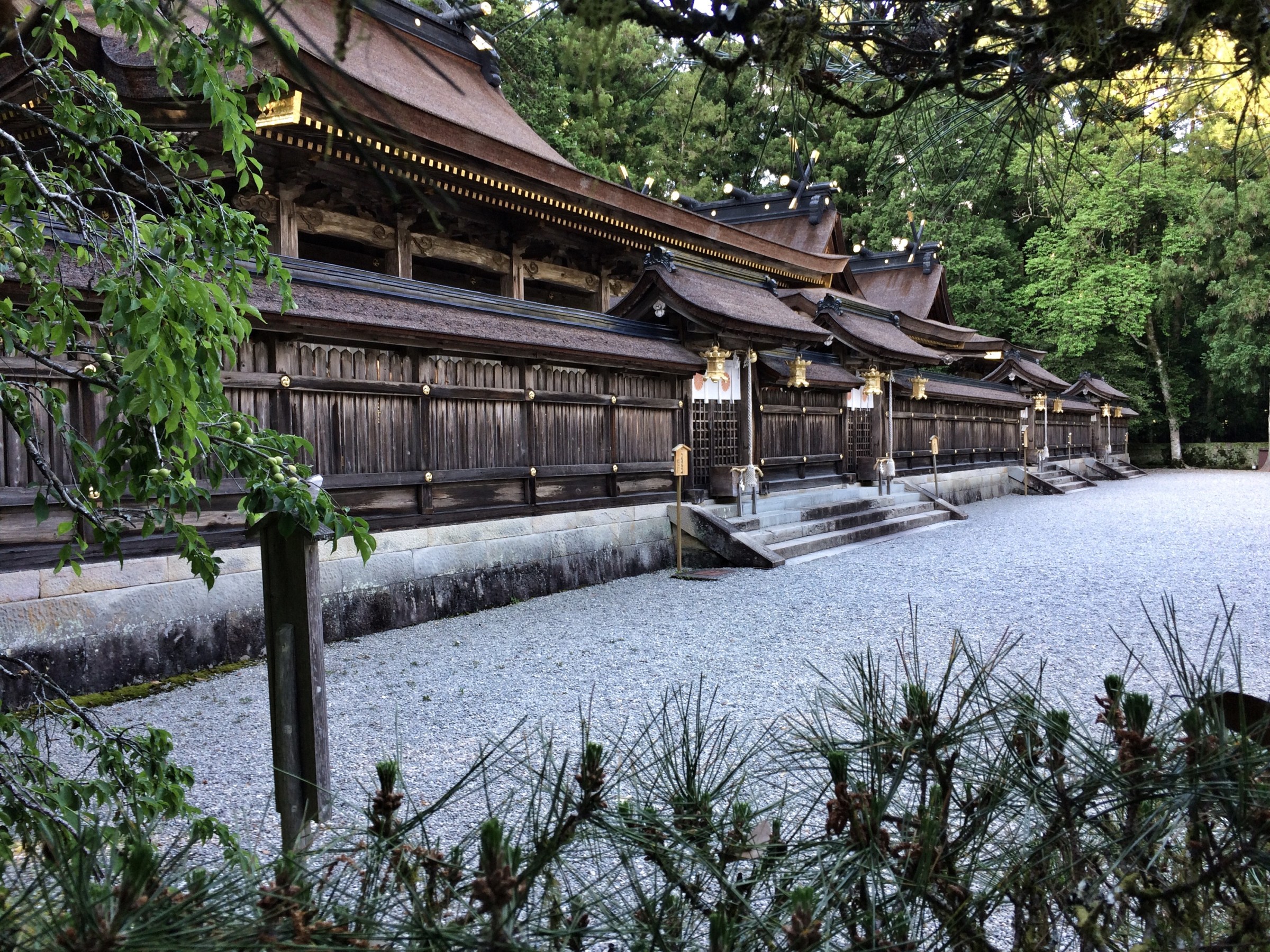
The most beautiful Shinto shrine I have ever seen. After walking on the Kumano Kodo for two hours, we arrived at the main shrine past 5 pm. Read More
Kumano Nachi-Taisha
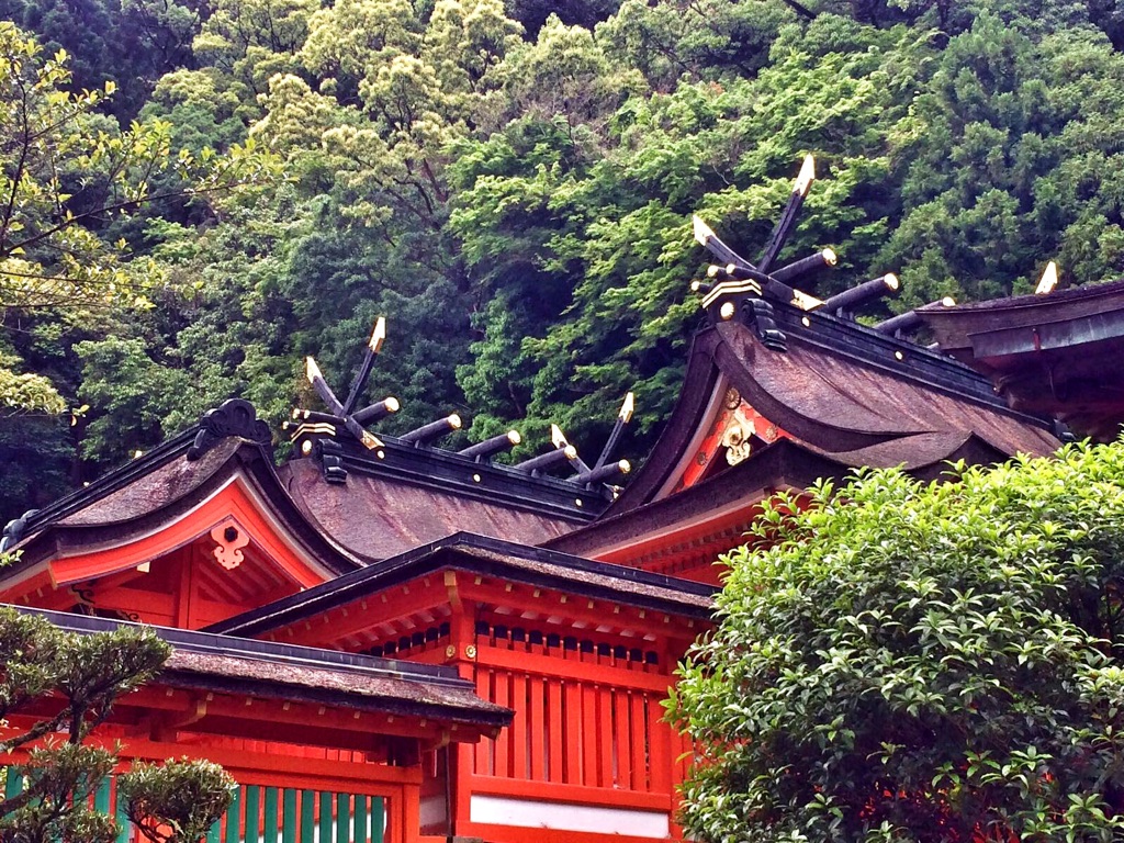
One of the main three shrines in Kumano, Nachi-Taisha, nestled in a dense mountain forest. A very picturesque pagoda was erected in front of the tallest waterfall in Japan (133m).
We arrived around 3 pm and started from Daimon-zaka, walking up to the Nachi Taisha gate. This uphill path, paved with moss-covered stone and lined with massive cedar trees, is part of the Kumano Kodo (pilgrimage route). History can be felt. We were happy to see many visitors coming down and only very few walking up.


By the time we got up to the gate of the shrine, there were very few people, maybe because of the rain. We enjoyed the view of the surrounding mountains and the tranquil atmosphere for a while, before heading to the less tranquil waterfall also visited by a noisy Korean bus tour group.


