Via Alpina, Engstlenalp to Meiringen
Via Alpina section 9
Engstlenalp (1834m) – Tannalp (1974m) – Tannsee – Planplatten (2255m) – Reuti (1061m) – Meiringen (595m)
21km, 890m up and 2120m down!
A beautiful morning in the mountain. How wonderful it is to wake up to the snow-covered mountain peak view from the window! The Wetterhorn was already shining in the sun.
Good morning, Wetterhorn! Good morning, Titlis!


A quiet walk from the mountain hotel. No one was on the path and I am smiling to myself to be able to walk with a magnificent view. Soon it lead to a narrow, uphill path to Tannalp, with a Wetterhorn view ahead!


After going around the mountain, I arrived at a quiet, charming village of Tannalp, with a white church. It seems to be off-season and the mountain hotel/restaurant was closed.

Soon to Tannsee, a mirror-like lake. It was a wonderful, lonesome early morning.

From the Tannsee, the path branched out, one to another lake Melchsee and the other uphill. My path was, of course, the uphill one and I started climbing up. Higher up, I could look down the Tannsee as well as the shining snow-covered Mt. Titlis and the path I walked yesterday.


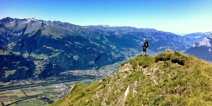
The ridge walk started, with the valley 1000m down. Lots of up and downs.


After a series of several small peaks, I came to the highest point, I thought… From there, however, I saw today’s real highest point, Planplatten (2255m), further and higher : (
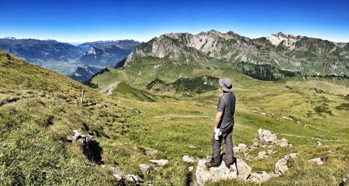
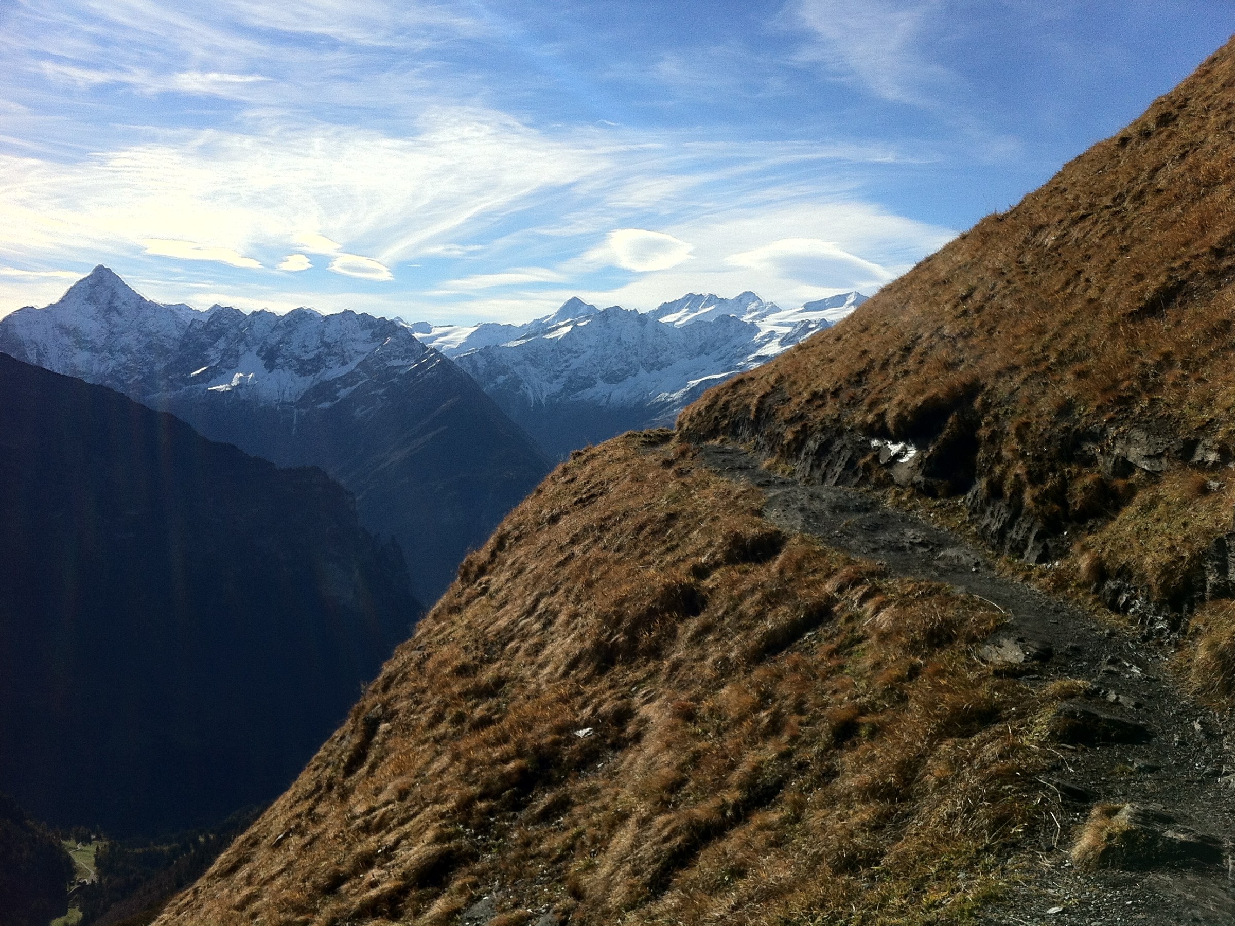
The path looked dangerously traversing on the flank of the mountain. I told myself, oh well, if it is too scary, I can stop and come back. Fuelled by lunch and snacks, I took a deep breath and started climbing. Still I was completely alone on this path.


Successfully managing my fear and the path, one hour later I arrived at Planplatten, a large ski station. The gigantic ski lift installation appeared all of a sudden, strangely out of place and in sharp contrast to my lonesome, middle-of-nowhere path from Tannsee.
Some workers were working on the ski-lift for its winter season preparation. I stood at the summit and watched all the directions. This place calls itself “Alpen Tower” and apparently one can see over 40 peaks. I was busy looking at the Bernese Oberland mountains, Brienzersee and its area where I walked as part of my Jakobsweg route…. Truly amazing views!


It was a long way down, but I enjoyed fantastic views of the mountains and lake, beautiful farmhouses along the path and the forest of Muggenstutz dwarf (a Swiss folklore).
After 2100m downhill (!) I was happy to put my feet up in a hotel of the charming town of Meiringen.


Via Aplina, Engelberg to Engstlen Alp
Via Alpina route, Section 7
Engelberg (1000m) – Trübsee (1780m) – Jochpass (2207m) – Engstlensee – Engstlen Alp (1834m), 11km, with 1285m up and 455m down
Starting at the foggy Engelberg and heading for Trübsee.


After a steep uphill of 800m, the Trübsee was also in the mist.
But soon it opened up and gave me a complete view of Mt. Titlis (3238m).
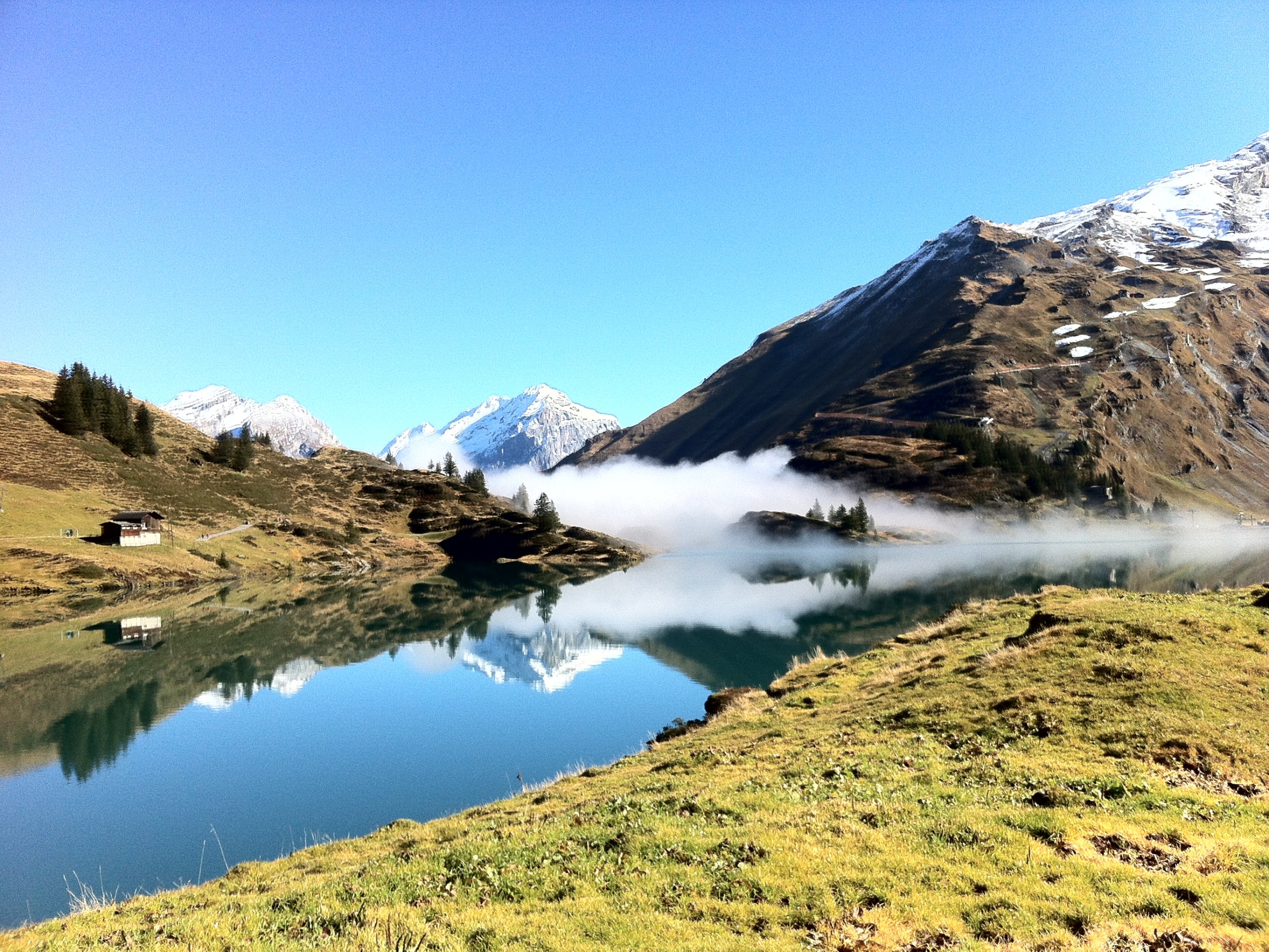
While walking around the lake, the mist streamed in and out. It was so beautiful that I felt as if I were in a dream. I stood there, completely captivated by the beauty of the nature.


Heading up to Jochpass and looking back the Trübsee and the Engelberg valley.


Beyond the Jochpass, Engstlensee was shining in the afternoon sun. A lone fishing boat was on the mirror-like lake and some were fly-fishing. It was so peaceful.


A quiet Engstlenalp and a traditional mountain hotel for the night.


Going nuts over a bowl of ramen @ Ichiryuan
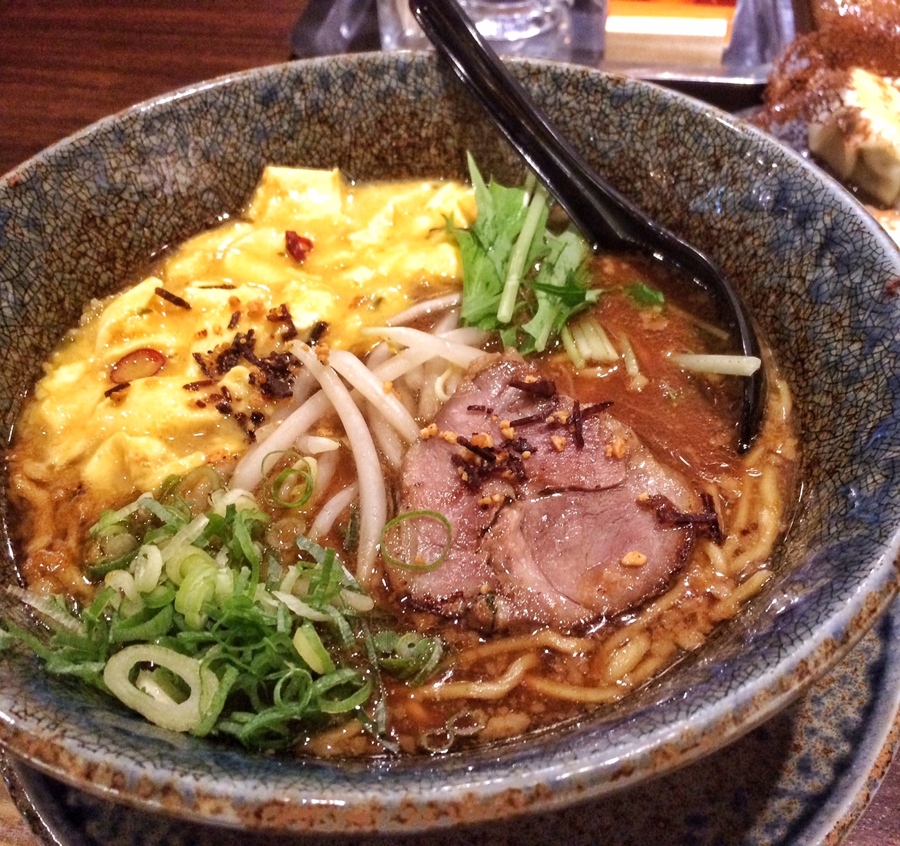
At 11h30 in the morning Yasuko and I think about lunch. It is cold this morning and a nice steaming bowl of noodle may warm us up. Ramen it shall be. Read More
Noboribetsu Foot Onsen
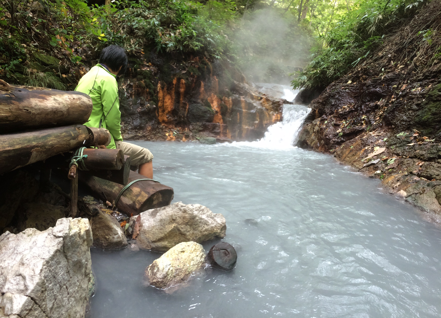
We’re off to Noboribetsu Onsen. It’s located in Jigokudani, the “Valley of Hell”, and indeed, steaming hills and mountains, blubbling water, geysers and dark, thick mud ponds everywhere. No doubt the devil will make an appearance soon.
We observe this natural spectacle from a safe distance, but not distant enough to escape the omnipresent devil’s fart (i.e. sulfur smell).


We stroll the walking path leading to another hot spring “Oku-no Yu”, a hot water pond with 120 degree at the bottom and 50 degree on the surface. From there, hot water streams into a river and down to a foot-bathing spot, nicely setup in the nature.
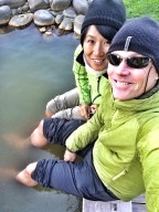
Basically, if a Japanese can soak any body part in sufficiently warm water (that would be equivalent to freaking hot for me), life is good. Downstream, at the beautiful foot bath spot, the temperature was 40 degrees celsius. Pleasantly warm at best, according to Yasuko. So we sat comfortably under the trees of the river bank and soaked our feet.


Usu-zan, an active volcano
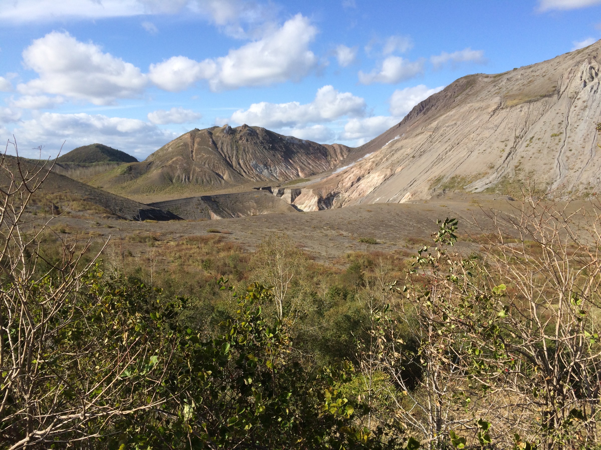
A still active volcano above Toya-ko (洞爺湖), Usu-zan (有珠山) is one with an impressive story of recent eruptions and destruction. That story is very well documented and illustrated at the nearby Volcano Museum. In the earthquake-simulation room you hear and feel the roaring sound of eruptions, see flying red lava and rocks into your window in an eerily realistic way. We came out of the eruption show feeling small, vulnerable and powerless.

This volcano erupted two times in the last 40 years and created a couple of new craters and cones. The earthquake in 1977 covered the town of Toya-ko Onsen with lava and rocks. Due to a rare predictability of this volcano’s activity, nobody died.
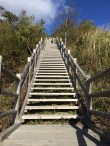
We did a beautiful stroll around the Usu-zan crater, watching steaming smoke and inhaling sulfur-saturated air. It’s a peaceful and scenic walk with a steep staircase going 260 steps up and down. It’s also a bit scary to imagine that the mountain might explode again anytime.
After the walk, we went back to the Toya-ko and warmed up our feet…
Shinsennuma, Niseko
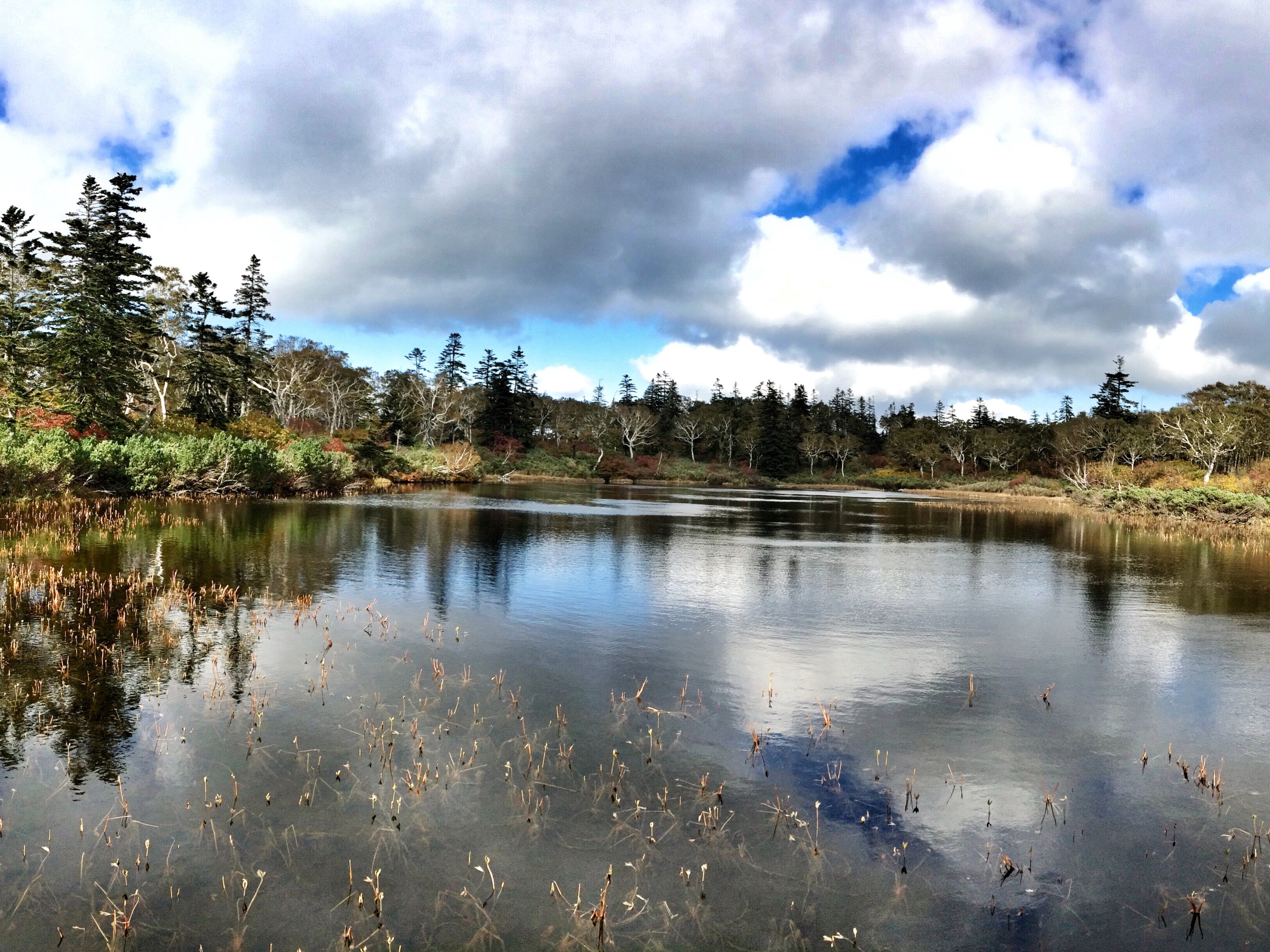
A peaceful wooden path walk to the Shinsen Marsh.


Hiking Mt. Yōtei
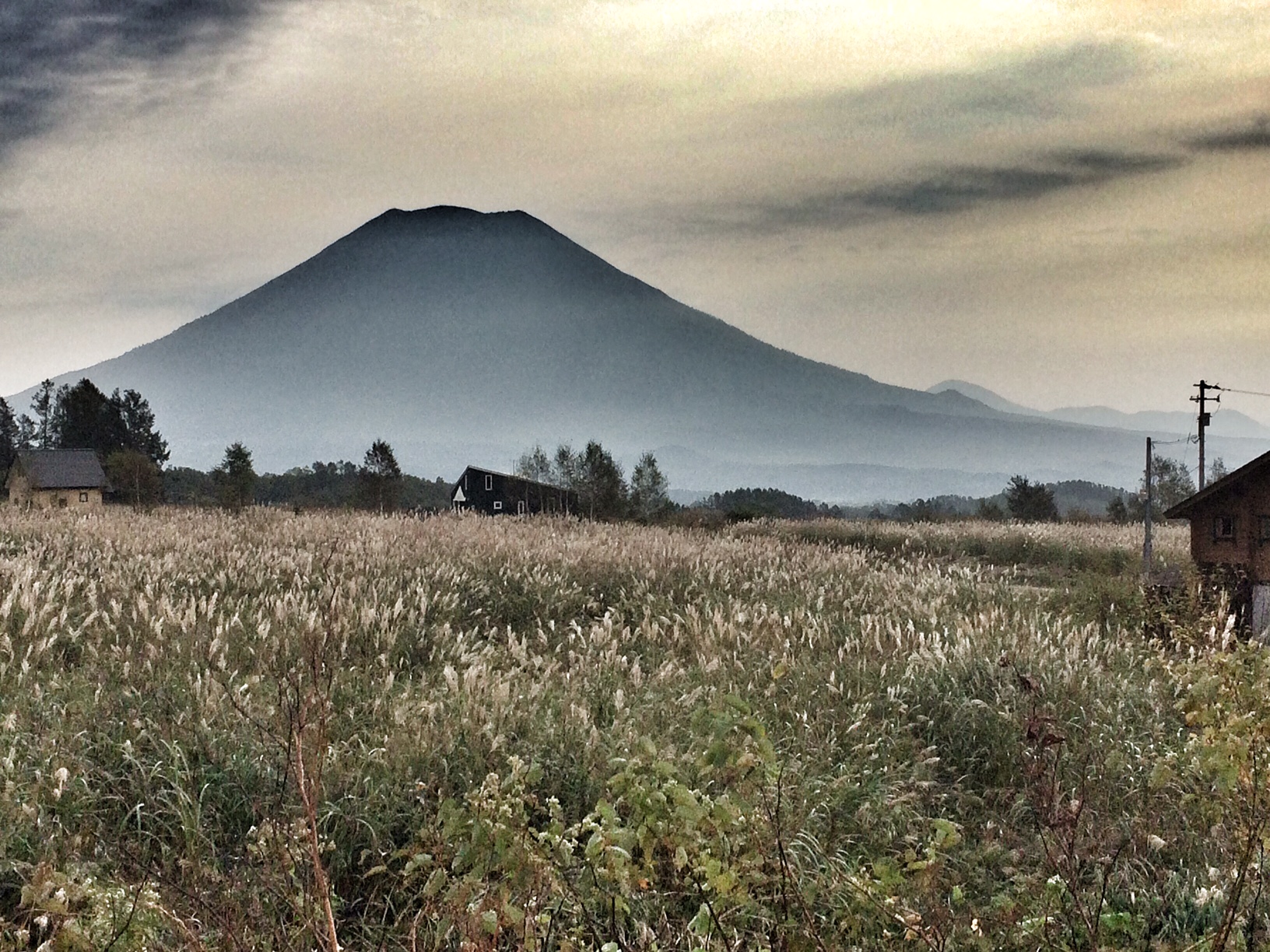
From Makkari Trailhead (371m) to Yōtei-zan (1989m) , 11km hike, 1500m ascent and decent
Hiking up 1’500m of altitude to the crater of Mt. Yōtei, Hokkaido’s Mt. Fuji, … and down again. A fantastic view of the enormous crater and the mystic Toya Lake in the south with an island floating in the middle.
8h after the start, the only thing we wanted was an onsen and a steaming bowl of udon 
Great to soak in the outdoor bath at Makkari Onsen with a direct view of Yōtei-zan, reflecting our hard, but memorable day of hike.


Daian-ji Temple 大安寺, Fukui

Our visit to Daian-ji (大安寺), a beautiful, mystic Zen temple in the mountains, Fukui.


Read more about the Daian-ji:
http://en.japantravel.com/fukui/daian-zenji-temple-fukui/13533
Via Alpina, Brüsti – Surenenpass – Fürenalp
Via Alpina Section 7
Brüsti (1525m) – Surenenpass (2291m) – Blackenalp (1773m) – Abnet (1670m) – Fürenalp (1850m)
Today Philippe joined me on the Via Alpina hike : )
As going up 2000m in altitude was out of question for us, we took a cablecar from Attinghausen to Brüsti to gain 1000m.
Brüsti, today’s trailhead, was a quiet, charming mountain village. After having coffee and hot chocolate, we started heading for today’s hike.

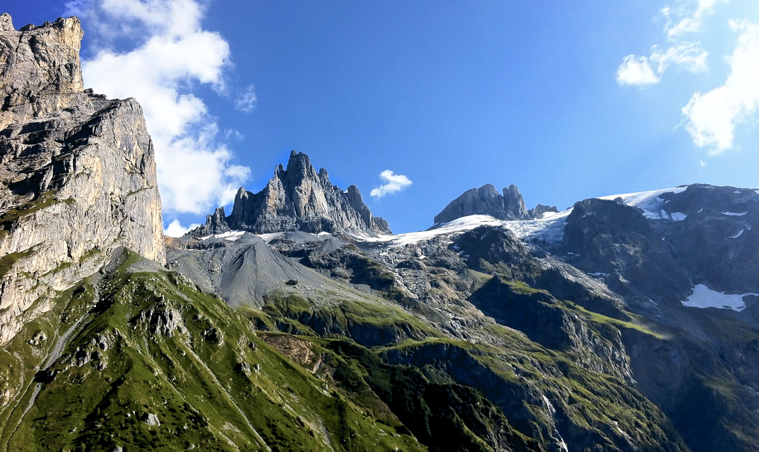
We had cloudless blue sky and saw dramatic rocky mountain ranges. This area seems quite isolated and we did not see any hikers for a long time. Soon an impressive mountain range of Brunnistock dominated the sky and after passing some farmhouses we saw a long path leading to Surenenpass far away.

Naturally, as it is always the case, we had to go down first to go up. It was on the rocks and moraine. We were surprised to see some brave mountain bikers on the path!
Finally at the Surenenpass


A white chapel at Blackenalp

A fantastic view on the way to Fürenalp, with imposing Gross Spannort (3198m), reminded us of some Patagonian mountain peaks.
We are smiling here in the photo, but we were quite tired by then.


Going up 200m again to the Fürenalp ropeway station, we had some refreshing drinks with a 360-degree view of shining Titlis, Gross Spannort, Kleine Spannort etc.
Finally the Fürenalp cable car took us down to the Engelberg valley. It was quite a free-fall cable car ride with 850m down! Luckily the boss of the cable car company kindly gave us a ride to the town, as there was no more bus.
We finished our fantastic day with wonderful Indian dinner at the restaurant Spice Bazaar in Engelberg.
Vilan (2376m) – a hidden jewel in the Prättigau Valley
Älplibahn Bergstation (1801 m) – Vilan (2376 m) – Älplibahn Bergstation (1801 m), 12km
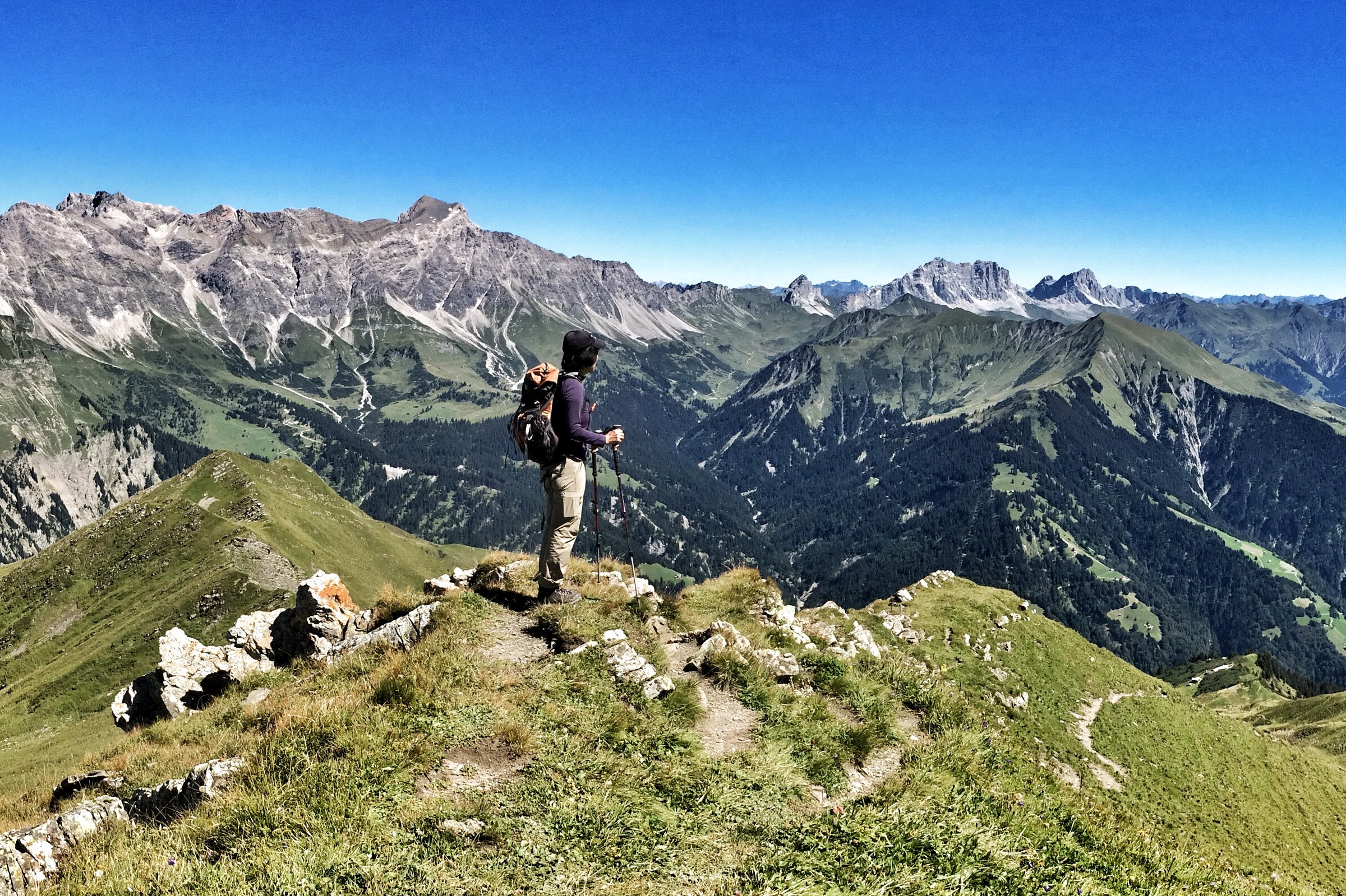
A fantastic summer day with blue sky – a perfect day to go up the Vilan, one of the most impressive mountain viewpoints in the Prättigau.
A very cute funicular Älplibahn with a capacity of only 8 passengers, operated by local volunteers, took us to the station at 1800m from Malans.


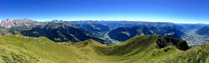
After some steep uphill hike on the ridge (I tried not to look down!), we arrived at the summit and was rewarded with breathtaking 360-degree panoramas! The entire Prättigau valley in front, the majestic rocky mountain range of Schesaplana, Drusenfluh and Sulzfluh at left, and the wide valley of Chur and beyond. Behind us, the Rhein Valley with the backdrop of the Churfirsten. Simply magnificent!
With an amazing view, a quaint and historical funicular, friendly staff and nice home-made cakes at the funicular station restaurant, it was a satisfying outing!