
Sailing with Martin from Carloforte to Barcelona
Mont Bré to Monte Boglia
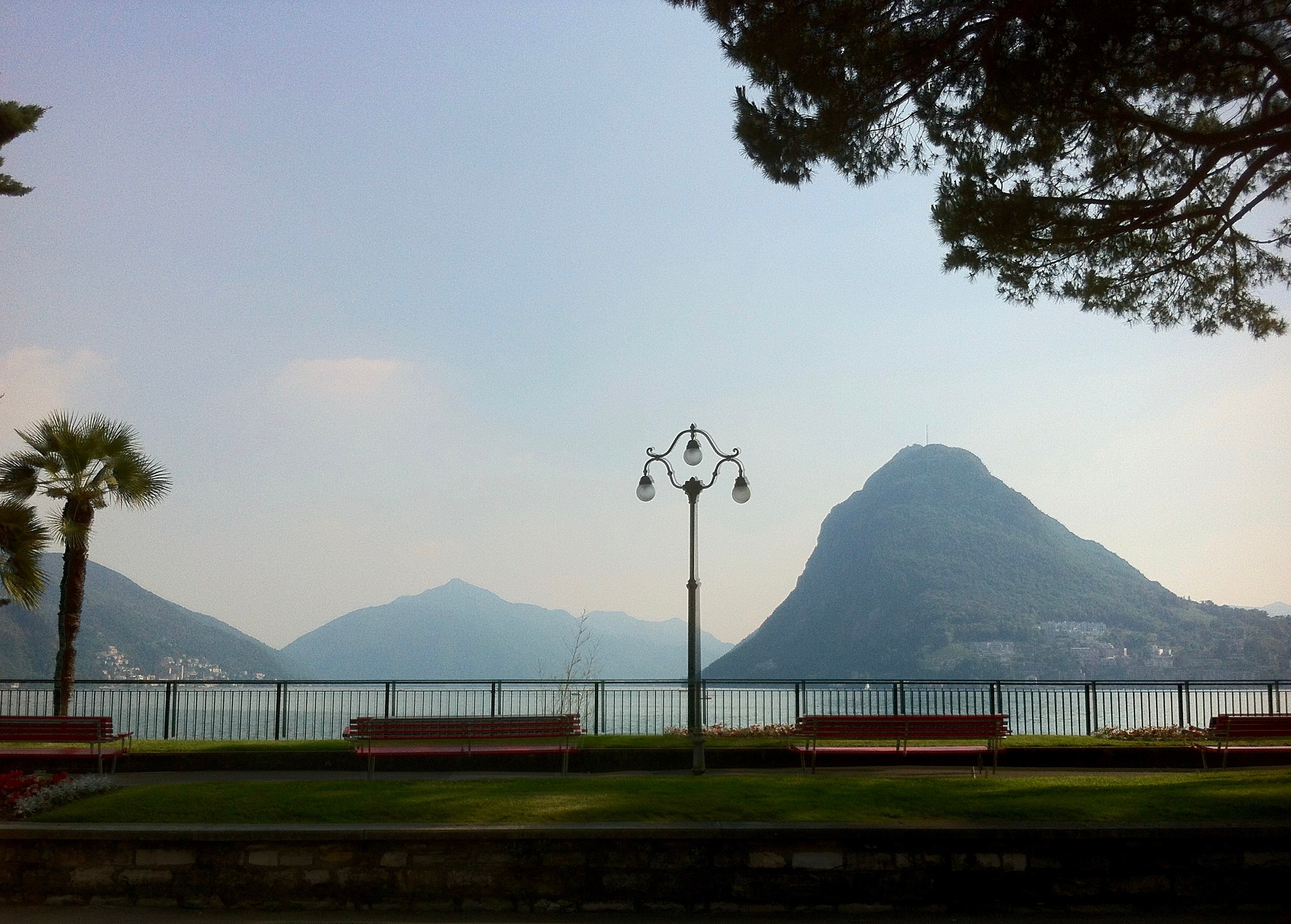
Monte Bré (925M) to Monte Boglia (1520m) to Bré
On my 5th day in Ticino, I walked to Monte Bré to Monte Boglia.
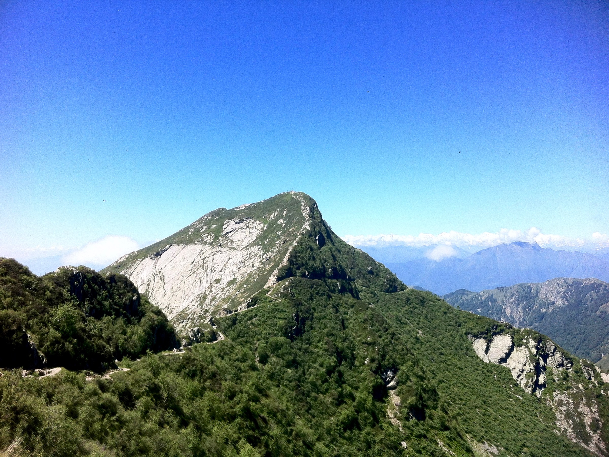
After some steep uphill, on the treeless mountain top I expected a great view but it was a very hot day (30+ degrees) and terribly hazy. Monte Bré (today’s starting point), San Salvatore (yesterday’s peak) in the south, Monte Lema, where Philippe is flying his radio-controlled sailplanes, and Monte Tamaro (2nd day’s peaks) in the east are seen in the haze.


Hiking down through the refreshing green forest. There is no one and it is almost meditative to walk in that quiet and peaceful place.


Read more on this hike:
http://www.ticinotopten.ch/en/trekking/lugano-trekking
San Salvatore – Morcote
A scenic hike from San Salvatore to Morcote, 9.8km
Our 4th sunny day in Ticino!
Today’s program is to go on the famous landmark mountain San Salvatore.

Getting up there is easy, because there is a funicular railway to bring me up to 909m in 10 minutes. At the top, the funicular station was full of loud Swiss-German student groups with their teachers.
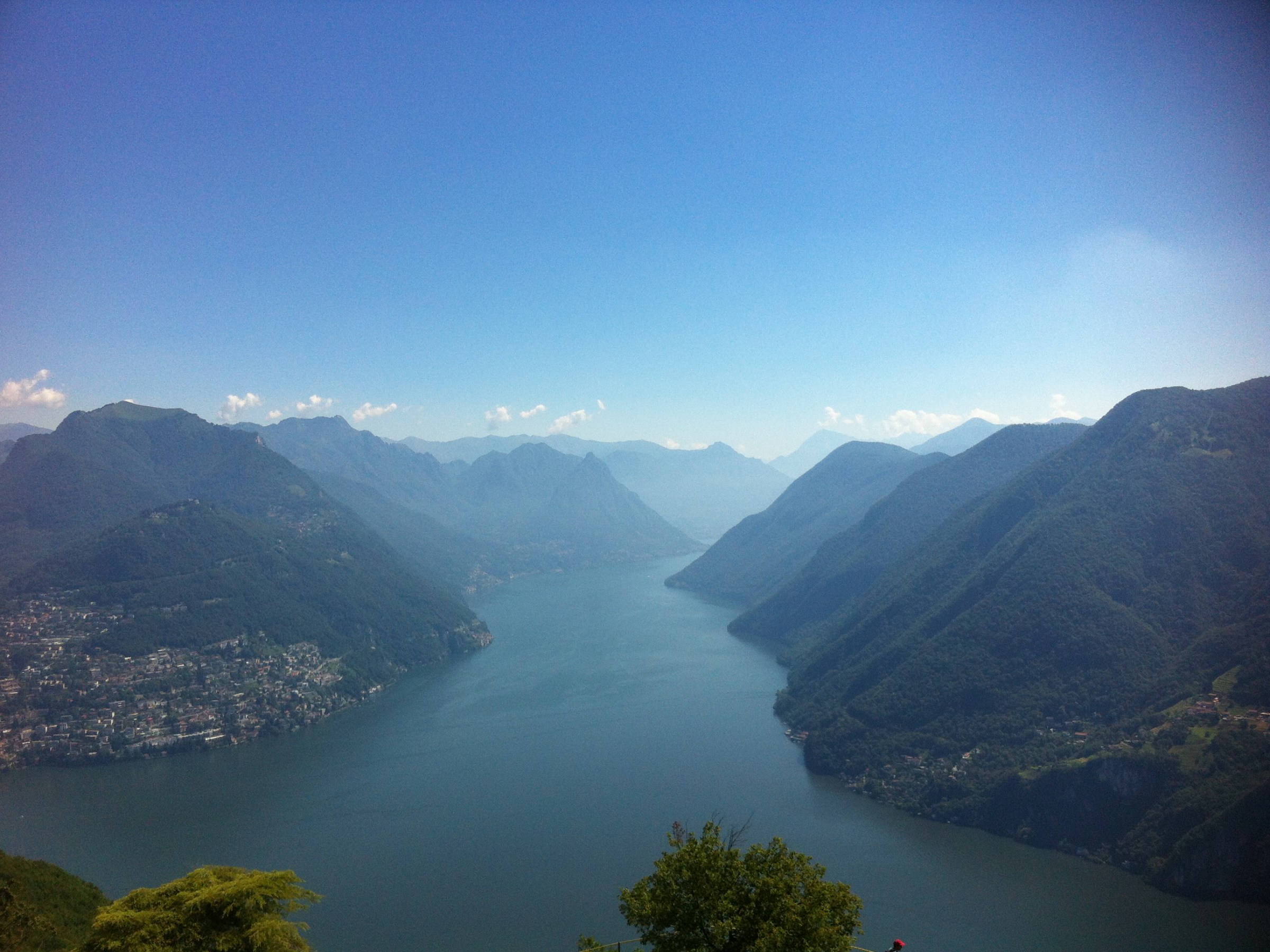
Unfortunately I had to share the top viewpoint with them, but luckily they left soon and I had the phenomenal 360-degree view to myself! The Lake Lugano, the town of Lugano in the north, Monte Generoso in the east, Monte Tamaro & Monte Lema (where my beloved husband is flying his toys) in the west where I was yesterday, and Monte Rosa far in the distance. Matterhorn is supposed to be seen, but it seemed to be hiding behind the clouds.
I was busy looking around every direction, checking the names of the mountains. After around one hour there and a picnic lunch on the bench, I started a rather surprisingly alpine downhill (300m) in the forest. Some hikers seemed unprepared for this and had difficulties.
The forest led me to the town of Carona and then a little higher up to the beautiful botanical garden, Parco San Grato. Considering how crowded it was at the top of San Salvatore, I was walking alone almost all the time, breathing the fresh forest air.
I walked the path next to some enormous private properties, completely forested and fenced. I wondered who owns such huge properties! This path was a series of serious downhill stairs and I remembered that a couple warned me about this yesterday….
Soon the beautiful Morcote village and the lake came into view. I had been here once and I remembered this village well.


Once in town I enjoyed a fresh ice-cream which smallest size was enormous, before getting to our AirBnB accommodation to shower. But once checking with the tourism office, they informed me that my final destination is one hour away – uphill – in the heat 😦
Monte Tamaro – Monte Lema Traverse
Monte Tamaro – Monte Lema Traverse
Alpe Foppa (1527m) – Monte Tamaro (1956m) – Monte Lema (1555m), 13km
A fantastic 5-hour ridge walk with breath-taking panoramic views. Unexpectedly physically challenging!
Today Philippe and I had a different program on our 3rd sunny Ticino day: Philippe is out for flying his model-airplanes at the best flying spot in Ticino, Monte Lema. My program is a ridge hike from Monte Tamaro to Monte Lema and to meet up Philippe there.
First at the Alpe Foppa (1527m) there is an impressive Santa Maria degli Angeli church. Some photo-taking at the top.


With a relatively steep 400+m up under the intense sun, I arrived at Monte Tamaro (1956m) in one hour or so. It gave me a 360-degree panoramic view of the Lake Maggiore, the Verzasca Valley (where we are staying), Locarno to Bellinzona. In the south, a series of high mountains, even Monta Rosa, is floating above the clouds!

I am rather new to the region so stayed at the top a looooong time intensely studying the Ticino geography.
Several hikers were at the top with me but everyone else is heading back the way they came. Only I was heading to Monte Lema : ( The path from there was very steep knee-straining downhill. Once I got 200+m down and some ridge walk I saw a steep uphill ahead of me.

When I talked to people coming from the opposite direction, I realised that the last cablecar from Monte Lema is to leave at 5 pm. I have another 3h to go and need to hurry up!
The sun was intense and it was hazy and hot. After I made a short stop at the unmanned hut for a drink and chatted with another Italian hiker, the path went through some rocky area which was tiring! I saw the cablecar building far on the top of another mountain. Getting close, I realised that I need to go down quite a bit and go up again! I was telling myself, “you must be joking!” But I had no other choice but to go on. Otherwise, no cablecar means another one hour or so on foot to the bottom of the mountain : ((
By the time I reached up and met Philippe who had a good day of flying , I was exhausted. I underestimated this journey as an easy ridge walk, but it had serious ups and downs (afterwards I checked and it was around 1000+m up and 1000+m down in total).
The cablecar transported us 1000+m down comfortably, while I was chatting with Philippe’s model airplane buddies….


Lavertezzo to Corippo hike
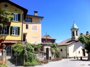
This village is nestled away on the other side of the valley and seems as if it has been left forgotten by the gods.
We quietly wandered around very narrow stone-paved alleys just wide enough for one person to walk. The alleys are uneven and not easy to walk. Some stone farmhouses are collecting green mosses.


Our imagination transported us back a couple of hundred years, while we sat spell-bound in the tiny village square with an unmatchingly grand church. Two villagers (out of seven in total) were walking by in a slow motion, well, in a “there is nothing which I could imagine to rush for” kind of slow motion. Yes, about like that.
Sonogno – Lavertezzo, 13km
After a short hike to the village of Corippo, we tackle for today’s main hike, starting from Sonogno, the dead-end town of the valley we stay.
After a rather disappointing pizza for lunch (Philippe makes a much better one!), we wander around the pretty village of Sonogno, which is surrounded by impressive mountain ranges. The small village square was under complete restoration and they were painstakingly putting down beautiful stones one by one. Impressive!


This path follows the clear emerald-green water of the Verzasca river. Picturesque villages such as Frasco are scattered along the river and we made us think of the old times. The walk makes us simply speechless at the beauty.
At the middle of the path, Philippe declares that he had enough walking for today and he will enjoy the comfort of a postal bus for the rest of the journey. The hiking path was uneven with rocks and tiring for his feet, and the day was hot.
My inner “Schweinehund” wanted me to finish the hike properly, on foot, like the Romans already did. I might walk forever, if no one stops me. So I go on, alone, stop at the riverside beach without swimming (too cold!), admiring amazing-colored rocks and boulders, crossing several bridges and waterfalls, breathing in the forest air and looking up at soaring stony mountains with bliss.
Philippe, in the meantime, hitch-hikes and gets a ride back with a couple from Zurich – The Ticinesi wouldn’t stop – to the famous Roman Bridge of Lavertezzo. There he lies down on the rocks, listening to music while watching crazy young people jumping off from the bridge to the ice-cold water. Philippe looked at it and thought: “It’s good not to be 25 anymore..”.


Verzasca Valley
The ehtnographic path: Lavertezzo – Revöira – Motta, 5km
Rain, rain, rain in the northern part of Switzerland for weeks. We had enough. A great weather forecast for the Tessin part pulled us south.
So off we go for a short holiday to the Italian-speaking Switzerland and indeed, when our car emerges from the Gothard Tunnel, the sky is … blue! Yipiiiii.
The first destination is the Verzasca Valley, where one feels as if the time has stopped long ago. A narrow valley with the emerald-green Verzasca river, sandwiched by dense green forest and overhanging cliff-like mountains.


After we drop our bag at our AirBnB accommodation, a beautifully restored, traditional stone farmhouse in the charming village of Sambugaro, just above Lavertezzo, we start a 3-hour (supposed to be) historical walk from the village, up to the valley.
Apparently we made a wrong turn (we’re great at it) leaving the village and end up at some water reservoir with apparently nowhere to go but back. Philippe’s legendary sense of direction (iPhone/GPS) leads us straight up a 45° slope in a forest to join the original path much higher up. Our heart rate goes down to normal while we walk flanked by many mysterious and abandoned houses and mossed ruins, prove of settlements a long time ago.

Higher up we arrive at Revöira where there is a cluster of beautiful, small stone houses, much more intact, with hand-carved stone water bassins. Coming around a corner I see two women chatting and one of them said, “Hi, Yasuko!”. I don’t recall to have any acquaintance in this deep valley so I was surprised, but it turns out that it is our AirBnB host, Rosemarie! She recognizes me from the photo in our AirBnB profile. Seems not many Asian women running around here. She kindly invites Philippe and me to her house perched on the hill, with a fantastic view of the Verzasca valley.


Her husband Gill, a local carpenter/hunter from this region, owns several traditional stone houses which he fixed little by little. Rosemarie, a German and nurse by profession, furnished and turned them into beautiful guesthouses. By talking to her, we could tell that she loves the region with its traditional stone houses and her life here. What a wonderful encounter with that passionate lady.
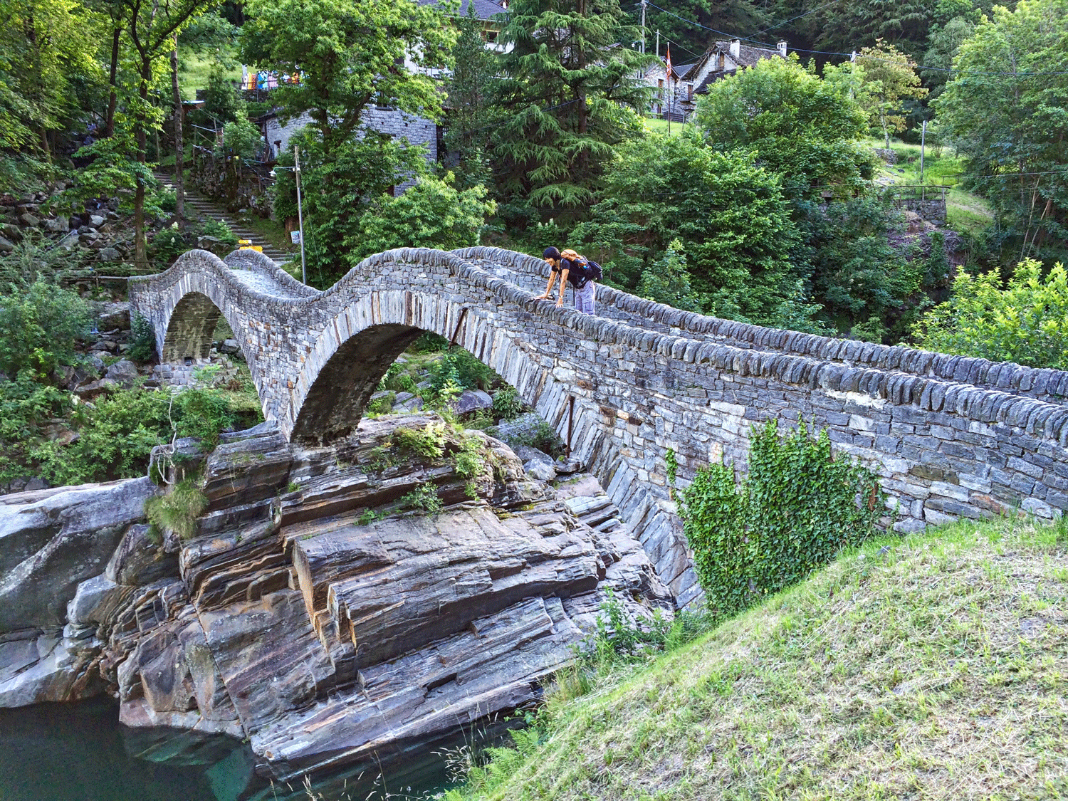
We finish at the super famous and a million times photographed roman bridge in Lavertezzo. Yeah, yeah, we take another few and go for dinner at a Grotto. Local cheeses, salami and Merlot is the only menu option. Well, we go for cheese, salami and Merlot…


Tierra del Fuego National Park
Costera Senda (Coastal Path) – Paseo de La Isla – Mirador Lapataia (Lapataia Viewpoint) – Senda de La Baliza – Arias Port, 12km.
Today’s outing was to the southernmost national park of Argentina, Tierra del Fuego. A minivan from the town center brought tourists to the pier of the Zaratiegul Bay, where the trail starts. (Before that we had to pay a hefty park entrance fee of USD 17 per person!)
The park personnel told us that the Senda Costera would take 4 hours, but at the trailhead the sign showed us that miraculously the estimated hiking time got shortened to 3 hours : )
This 8km trail was following the coastline, occasionally dropping to some small, pretty isolated pebble beaches and walking up in the beach forest. We usually make a stop at nice viewpoints or beaches, but the rain and some loud, young Israeli groups behind us kept us going.
By the time this trail ended, Philippe had enough and decided to go back with an earlier bus. I was eager to continue on another trail to the Arias Port.
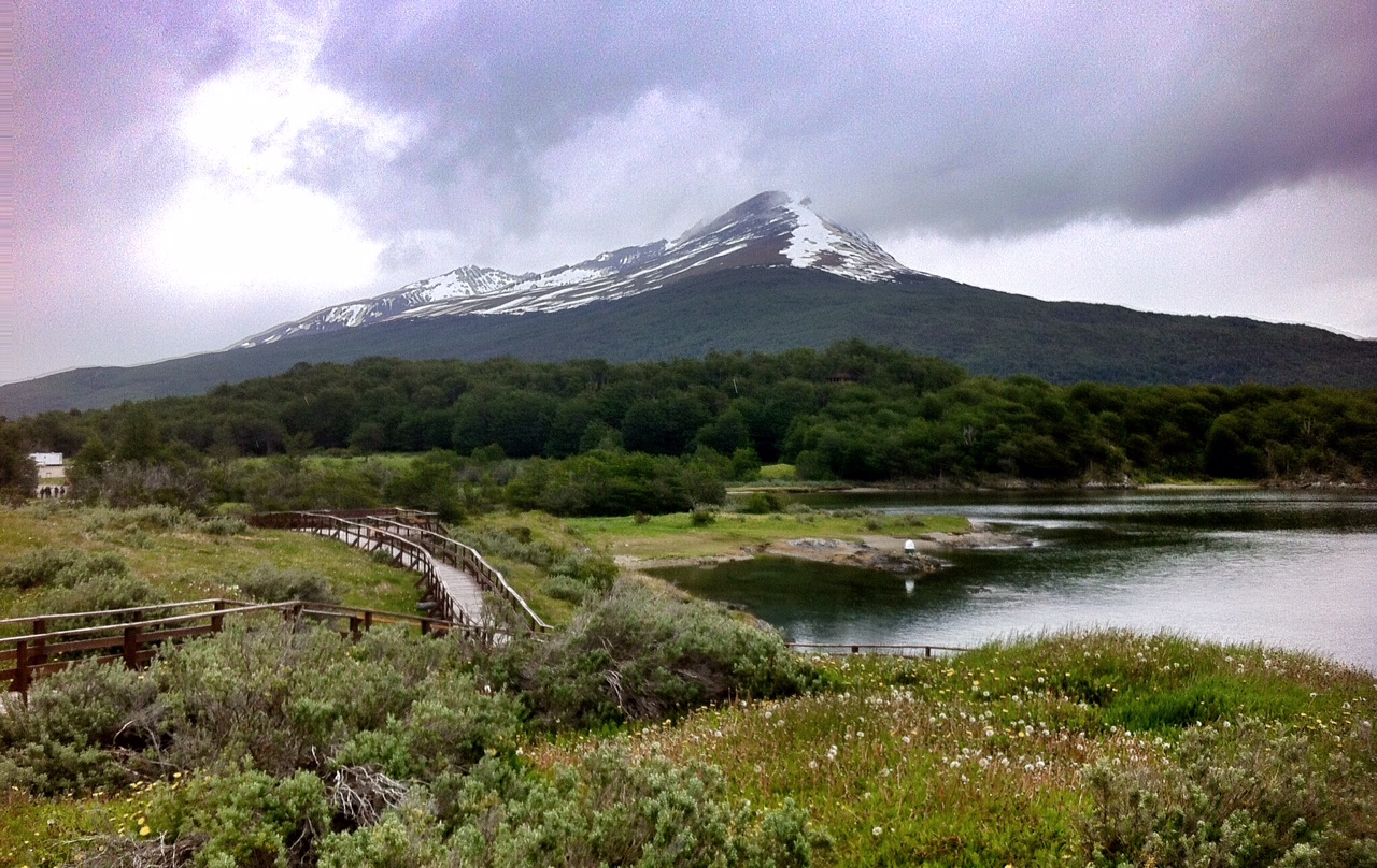
After a short gravel road where Philippe walked in the other direction, a new path “Paseo de La Isla” lead me to a cute, small peninsula, hiking along the coast of Lapataia and Ovando River. The lush, intimate landscape with water-birds was a welcome change from the earlier trail. Too bad that Philippe did not come along, because this was the prettiest part of the trail so far. There was no one around and it was a small adventure, trying to find a path alone. I always love the feeling alone in the stillness of the nature.
Soon next to another trail “Mirador Lapataia.” Going through the open, low bush area, I could see the panorama of the snow-capped mountain range in the surrounding area. After a short forest, I came out to the viewpoint and looked down the beautiful Lapataia Bay and its Arias Port. The circled bay was secluded by the intricate coastline and protected by the natural gate of islands. A short moment the sun came out and reflected the water in blue. I knew why a local travel agent person raved about this place. It was beautiful.
As I had a little bit more time before the 5pm bus, I walked on a short trail along the Lapataia Coast. At a peaceful pebble beach an old buoy stood and the path ended with a fence. From there it is the off-limit Natural Reserve Area which continues to the border of Chile….


Camino Estancia Túnel
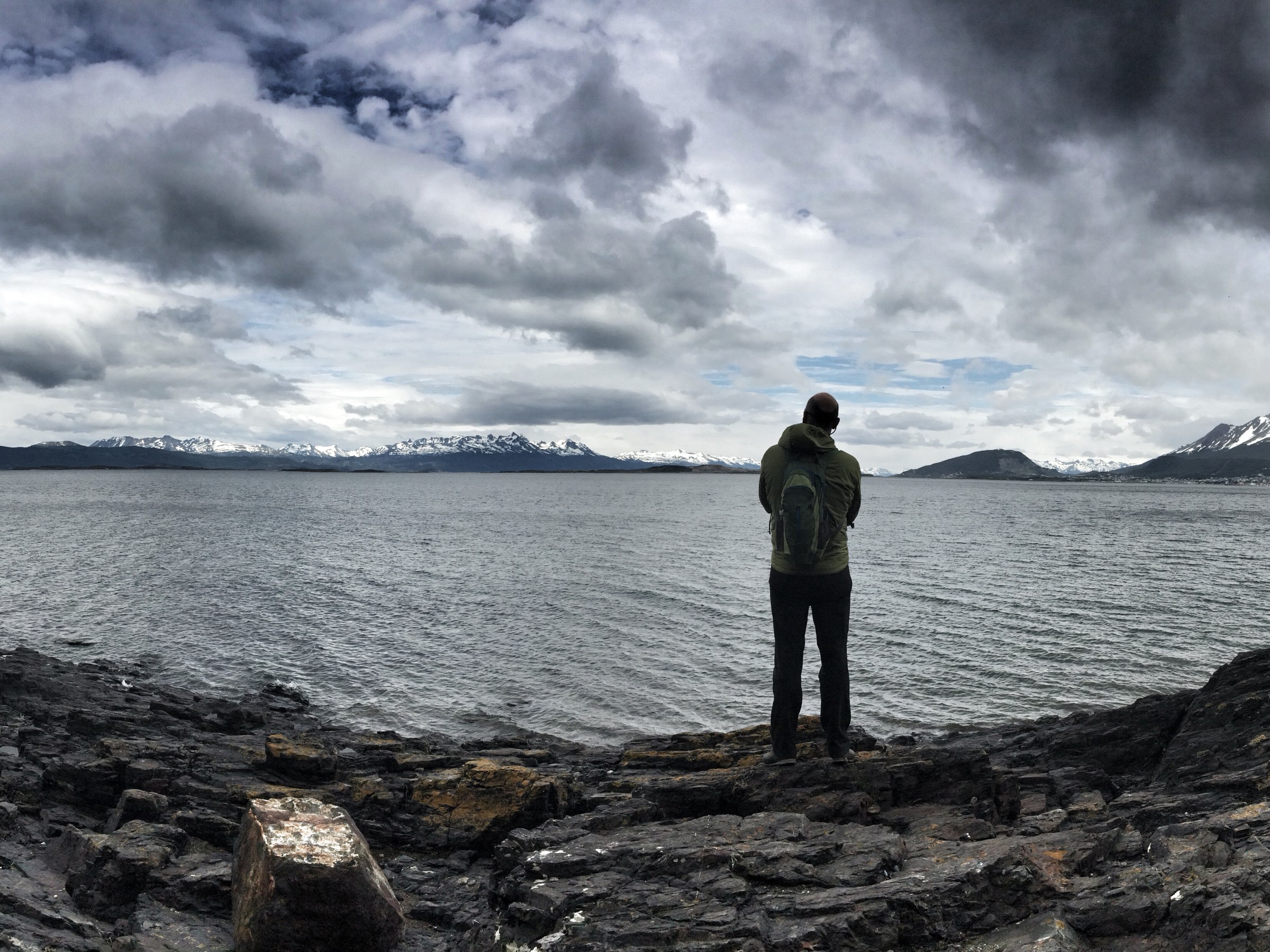
Playa Larga to Estancia Túnel, 10km
After moving to a more comfortable, closer-to-the town apartment, we went for a walk to Playa Larga, east of Ushuaia.
Along the rugged coast scattered with windswept trees (bent down to 45 degrees) we could see small islands floating on the Beagle Channel and the snow-capped mountain range of the Isla Navarino (the Navarino Island) of Chile on the other side of the water. I thought of the wild 5-day mountain hike on the island roaming under the unpredictable weather, which I read in one of the hiking guidebooks. Even for a mountain lover like myself, these mountains look too wild and inhospitable…
Walking up and down hills and crossing a beautiful stream flowing down to the sea, we arrived at the gate of Estancia Túnel, a forlorn farmhouse, located at the isolated shore. It looked abandoned at the first sight, but someone seemed to be working there. Beyond that, the path continued on the seemingly endless, isolated coastline where no one lives.
As usual, the weather was temperamental. There was sun, there were clouds, then very very dark clouds and windy rain at the end. We decided to hitchhike back to town and were picked-up in no time by a friendly kayaker. A blue sky with a rainbow was waiting in Ushuaia, which was only 5km away…


Philippe cruising on the Beagle Channel, Yasuko to the mountain

Philippe loves the sea, sailing, anything related to water and wind. Yasuko loves mountains but easily gets sea-sick.
Ushuaia has a perfect solution for us: it is sandwiched between the sea and the mountains. So today Philippe set off to a boat ride in the Beagle Channel and Yasuko to hiking on the Cerro Martial.
Glacier Martial is a small glacier at the foot of Mt. Martial just behind Ushuaia. I set off walking 7km to the area from the town. The mountain area was still in patched snow. It was Sunday so many families came out hiking. The panorama of Beagle Channel was impressive. I tried to spot Philippe’s boat on the sea, but of course I could not see…


