
Kumano Kodo I
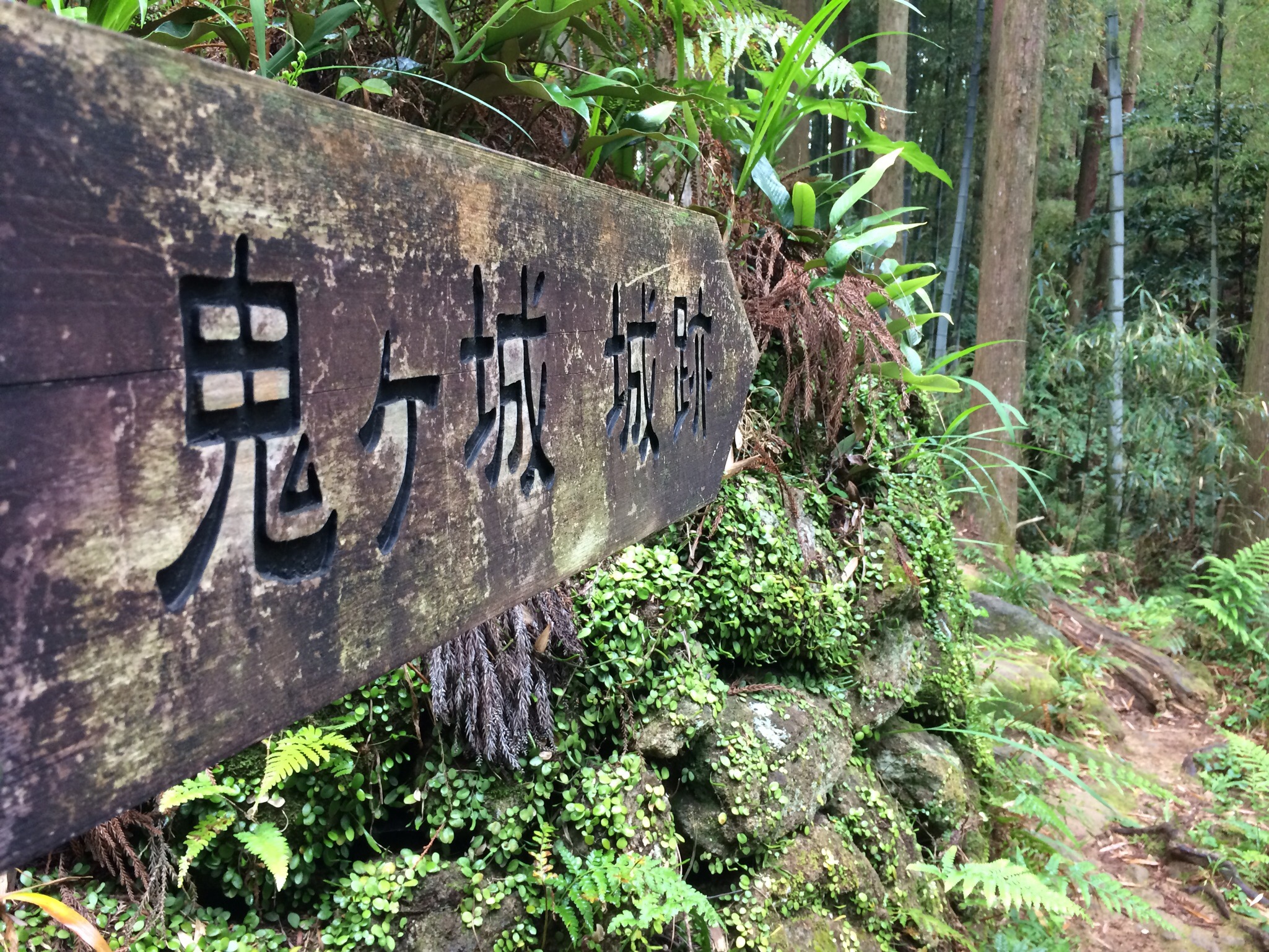
A short 3km walk. First along a fascinating coast and then over the Matsumoto Pass to Onigayo. Our first few steps on the famous Kumano Kodō – a UNESCO World Heritage pilgrimage site. It’s the only pilgrimage UNESCO site in Asia. The big brother is the Camino de Santiago, also known as the St. James’s Way or Chemin de Saint Jacques.


Shima Peninsula
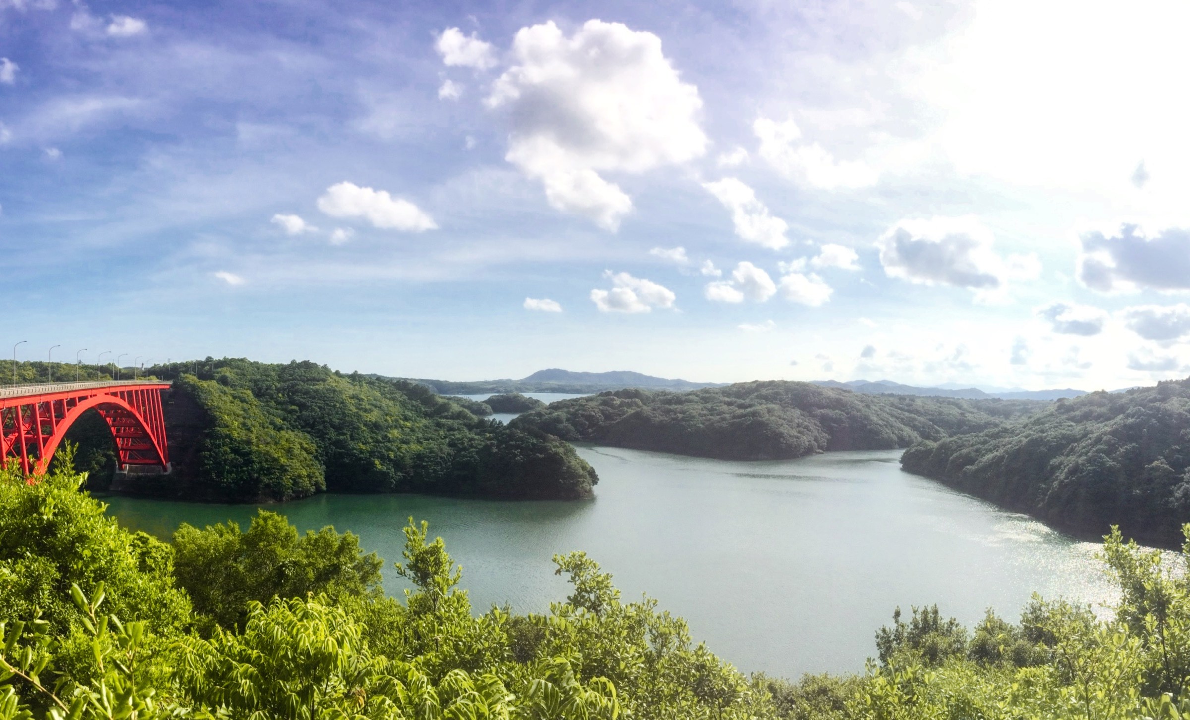


Ryokan Hoshidekan 星出館 in Ise
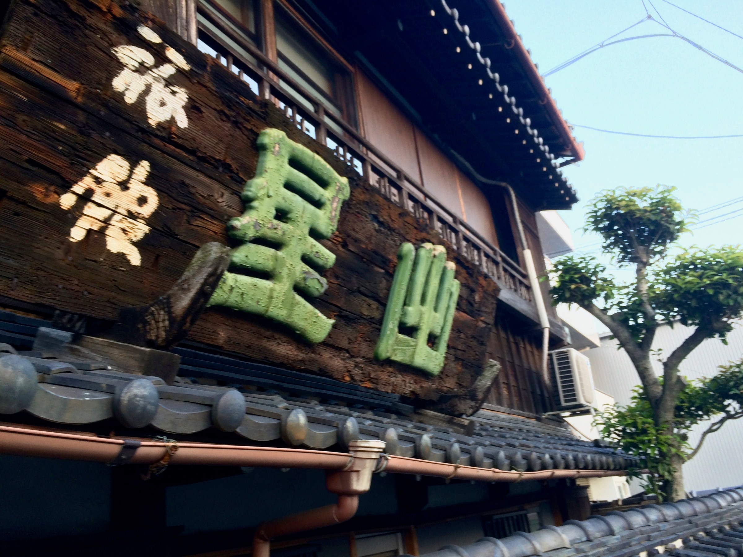
In Ise, we stayed at the super quaint, traditional wooden Ryokan (Japanese-style inn) Hoshidekan. It is located near the river and in the midst of an old neighbourhood. This old building with tatami rooms is taken care of beautifully.

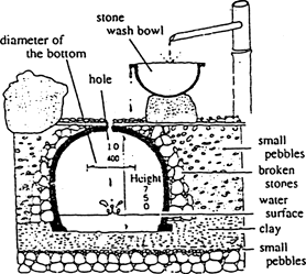
Among the many details the Suikinkutsu (water-cave instrument) is a rather unique feature. Through a bamboo stick, one can listen to the sound of water dropping into an underground cave. Very meditative.
Yen 12,500 for two with breakfast (Western breakfast available).


In the evening we enjoyed a fantastic meal with fish and some great sake in a traditional storage house turned into a restaurant. A bit less enjoyable was the loudest Japanese waiter ever encountered – but the Ryokan warned us.


Ise Jingu
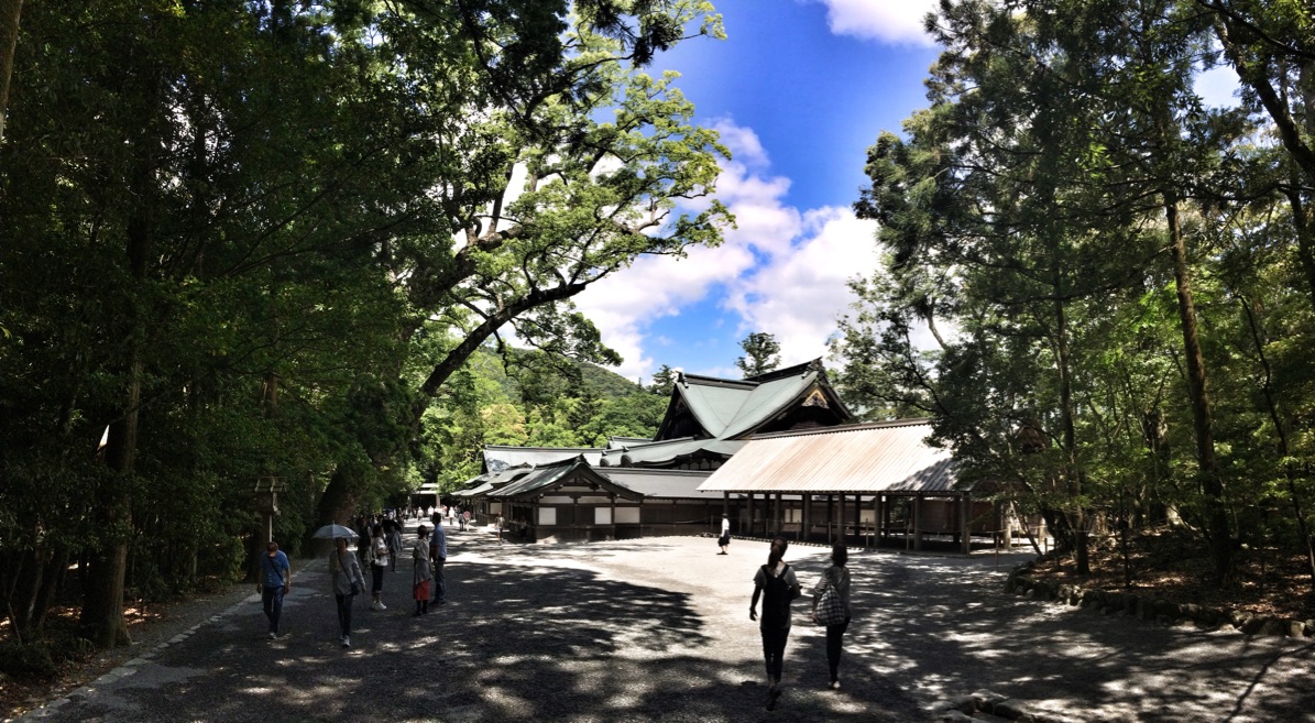
Ise Jingū, the most sacred Shinto shrine in Japan, on the Kii Peninsula, near Osaka.
Going inside the deep-forested shrine compound, we felt awed by the mystic and spiritual atmosphere of the place… like the other hundreds of visitors.


For religious reasons and to preserve the shrine building skills, 16 of the over 100 shrines are rebuilt every 20 years! Its austere beauty of the architecture is impressive.


After visiting the shrine, we went around the shopping street “Okage Yokocho”, leading to the shrine. It was lined with endless souvenir and food shops and booming with many Japanese visitors and foreign tourists. It was great fun trying all kinds of snacks: famous Ise-Udon (thick noodles with only soy-sauce dashi), Matsusaka beef stick and beef bun for Philippe, tofu donuts and red bean paste sweets for Yasuko. The options were endless and we decided to go for a food tasting spree.


With a little help of a friend
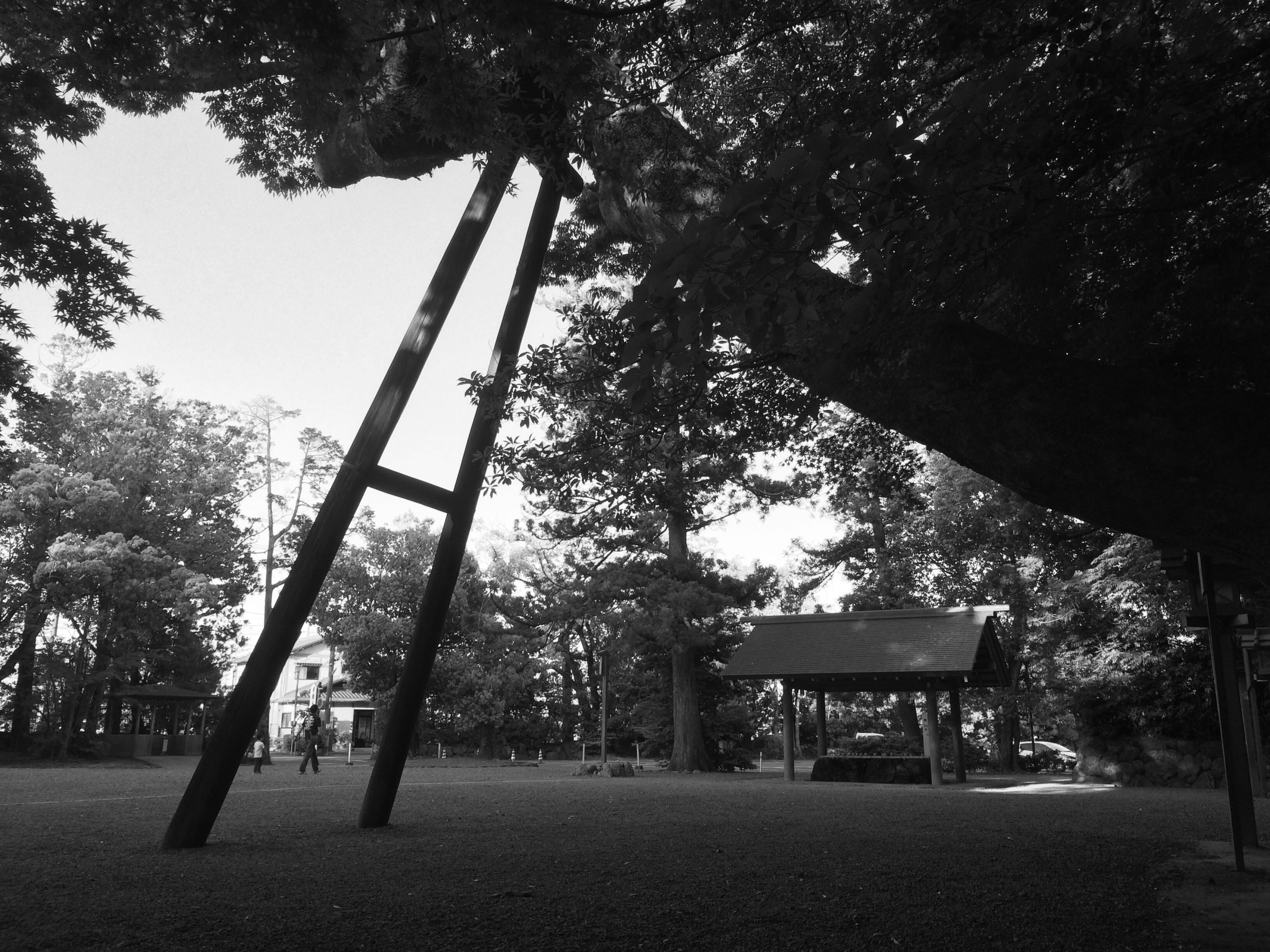
Some amazing trees in one of Japan’s most important shrine, the Ise-jingū.


Today’s Bento Lunch


We had to go to Nagoya by train to get the driving license renewed. There are endless bento (lunch box) options at Nagoya station. Today’s choice…
Ohhhh – Matsusaka Beef
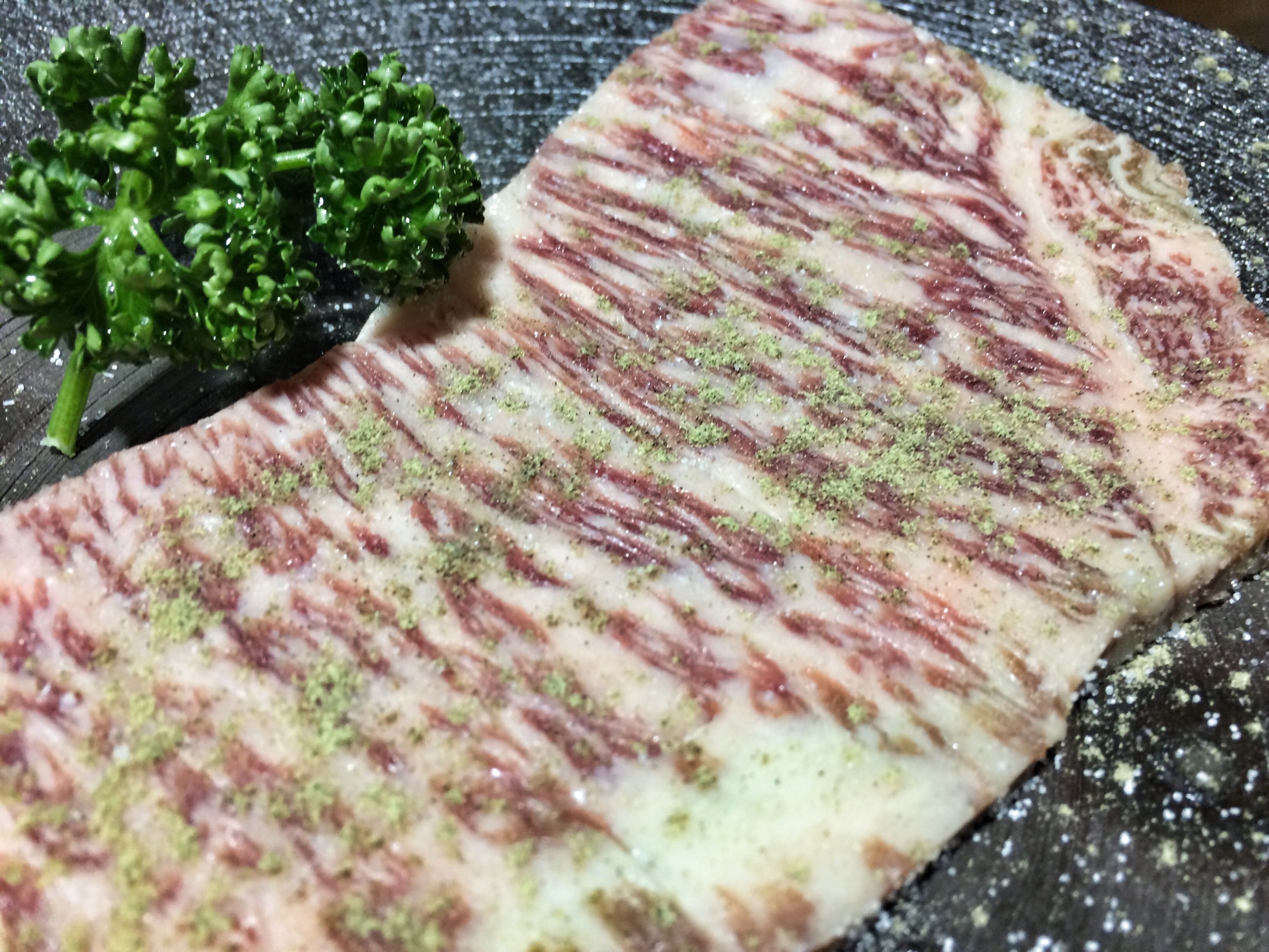
Wikipedia: Matsusaka beef (松阪牛?Matsusaka-gyū also “Matsuzaka beef”) … is one of the most famous beef types within Japan and internationally, with a high fat-to-meat ratio. Within Japan, Matsusaka beef is generally considered one of the three top brands (known as Sandai Wagyuu, “the three big beefs”), along with Kobe beef and Ōmi beef or Yonezawa beef.
It was just unbelievable. I never had meat that tender, tasty and marbled. Comparable, may be, to eating butter with a meat taste. A meat lovers paradise. We went to the Kadoya Restaurant, but the restaurant itself is not the main act here.




Via Alpina, Grindelwald to Wengen
Via Alpina Section 11
Grindelwald (1034m) – Kleine Scheidegg (2061m) – Eigergletscher (2320m) – Kleine Scheidegg – Wengen (1274m)
21.4km, with 1300m up and 1050m down
The breakfast place was full of Indian and Korean tourists. Maximum calories intake again and off I went for another sunny morning.
The sun was up above the mountains and the sky was crisp blue, but the path skirts at the bottom of the towering Eiger and in the complete shadow of the massive Northface.
The yellow hiking path sign says 4 hours (of course, up!) to Kleine Scheidegg. I told myself, well, it is one hour shorter than yesterday.
I met two middle-aged German hikers who were also heading for Kleine Scheidegg. Looking at the imposing Eiger Northface and eyeing the mountain train passing by, we went steadily up to Brandegg.
After a while, the path turned to the car road and we continued on. Soon I realized that I needed to turn somewhere to get to Alpiglen and took a wrong path : ((
I debated myself if I should cross uphill to the official path or go back. My GPS map showed there was a small stream in-between (in general it means going steep down and steep up) and the forest looked dense. It was too risky.
I was upset with myself because the official path passes the “Eiger Trail” which I was interested in walking. The two Germans behind me also missed a turn and came up just behind me. After looking at the map for a while, I decided to keep going on this rather boring car-road till it crosses the official hiking path.
In another half an hour or so I finally came out of the forest to the open field where the car road turned to dirt road and finally met the hiking path. I was face to face with the massive rocky Eiger Northface! There a large board shows several Eiger summit routes. The Northface looked vertical and it made me wonder who wants to go up there!


After around three hours from the start I was standing at Kleine Scheidegg (2061m). The Kleine Scheidegg was in the full sunshine and buzzing with tourists who came up by the mountain train. I thought of eating something warm at the station restaurant terrace (only one which was open), but soon I moved away escaping from the noise and the crowd.

Going up a little further, I found a quiet viewpoint. I had a stunning view of the Eiger, the Mönch and every other mountain in the area. I had my bread and snacks, fully taking in the fantastic scenery with bliss.

It was still past noon and I decided to go up to Eigergletscher (2320m), which is one hour away. I hiked up already 1000m today and I could have said it’s enough for today, but it was too bad to leave this wonderful area so soon and go down to the valley.

Massive Eigergletscher (Eiger glacier).

The Eiger summit looked close!

Near the Eigergletscher, I met a friendly woman who was about to do the Eiger Trail. I chatted with her and thought of doing this today, but it was already at 14:30 and I needed to go down the valley. Oh well, next time! I have another good reason to come back to this treasure hiking land.

After watching the Eiger Trail and the woman who was walking that path for a while with envy, I finally started to go down to the other side of the valley. The view was again spectacular. I looked back many times to see Eiger, Mönch and Jungfrau.

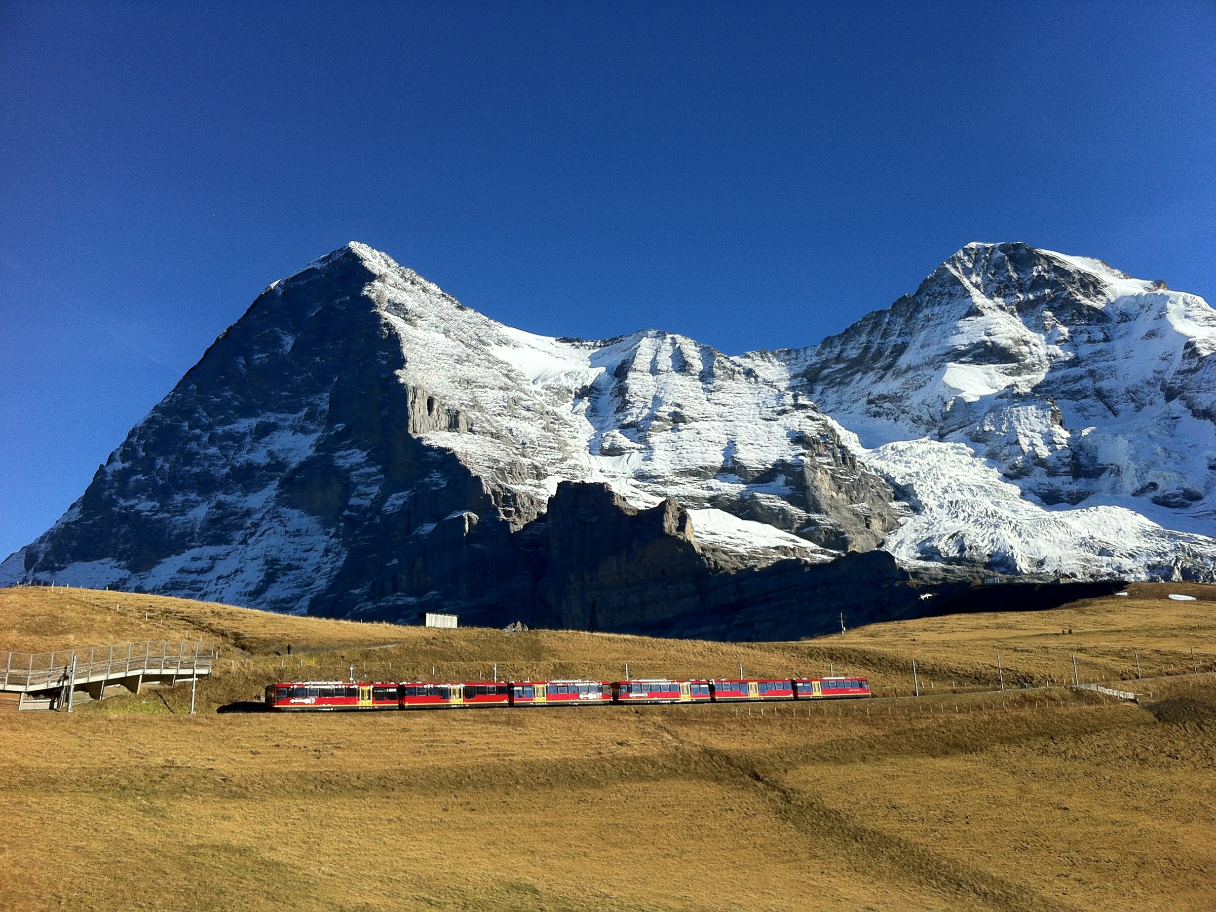
The postcard beauty of Eiger and Mönch with the red Jungfrau mountain rail.

The truly amazing four days of Via Alpina! It was like in a dream.
The next section goes over a 2600m pass and November is getting too late for this. I have to do the rest of Via Alpina to the next year.
Via Alpina, Meiringen to Grindelwald
Via Alpina, Section 10
Meiringen (595m) – Grosse Scheidegg (1962m) – Grindelwald (1034m)
23km, 1530m up and 1095m down
After making sure breakfast would provide a maximum of energy for the day, I briskly went out into the fresh morning air and walked through the town of Meiringen. It is now low season and not many tourists were on the street. For the same reason, there was no more buses heading for Grosse Scheidegg, so I was told by the hotel personnel. Therefore I had to abandon an idea of taking a bus and gain some altitude. I had no choice but to walk up 1500m for 5 hours using my own leg power : (
The snow-capped pointy tip of Wetterhorn was visible above the town and I was already äall smiles!

Crossing the town and leaving a village, a hiking path next to the farmhouse started uphill. It was gradual uphill and crossed the car road many times. It was early in the morning so there was almost no traffic.
Walking on the precipice, I arrived at Reichenbachfall, a small gorge. When I tried to look at the waterfall (no gushing water, though), I noticed a memorial for Sherlock Holmes. Apparently here he was “killed” by his enemy in the story of Arthur Conan Doyle. For a moment I was full of reminiscences for my teen-age time as a avid Sherlock Holmes mystery story reader.


Looking back from there, I had a good view of Meiringen and yesterday’s walk from Planplatten, which was shining in the sun.

In two hours or so the pink-walled traditional-looking, beautiful Rosenlaui Hotel appeared alongside the road. Around there the road was frosted and I had to be careful not to slide and fall on my face (or back). By this time, more cars with bikes on top started coming up the road and they were also slowing down on the slippery road.
It had an early winter feel. Walking through the rather dark forest, all of a sudden the tip of the snow-covered Wellhorn and Wetterhorn appeared. It is always a mesmerising moment to see shooting mountain peaks.

Soon the mountain’s gigantic rocky face became closer and closer and the path came out to a rather large pasture. The cold wind was blowing and I hurried to put on my gloves and warm hat, which I had never used till this moment.
A view of Wellhorn (3191m) from Gschwantenmad (1304m).

I walked along the river and crossed the stream back and forth. I could see the light blue sky up in the cold air, but this side of the mountain was completely in the shadow and it was too cold to stop for a break.


After Schwarwaldalp (1458m), the path was going on the side of spectacular rocky Wellhorn .


After 4 hours of serious uphill, finally I got out into the sun! Everything was in the sun and it was warm. I felt as if I am in a complete different world!
I estimated another hour to reach Grosse Scheidegg and sat down on the bench for a well-deserved lunch, enjoying the sunshine. Several bikers were passing by.

Feeling better, I made the last uphill effort (later a downhill of 1000m was waiting today but I decided not to think too much) to Grosse Scheidegg.

A view of Wetterhorn from Grosse Scheidegg (1962m)

Standing at Grosse Scheidegg, I could see the other side of the pass, the town of Grindelwald and Eiger’s soaring northface.

I enjoyed the fruit of my 4-hour, 1500m ascent and basked in the sun for one hour, with amazing 360-degree view: Schwarzhorn, Wetterhorn, Eiger, Kleine Scheidegg…
A young, friendly Swiss couple was also sitting near me and kindly offered a Swiss chocolate to a foreign-looking tourist hiker (i.e. me) and we chatted for a while about the mountains and the (wonderful) life in Switzerland.
The descent was supposed to be easier, but, as usual, it seemed never-ending! However, the sun was shining and the view of Eiger and Schreckhorn (4078m) was absolutely gorgeous!

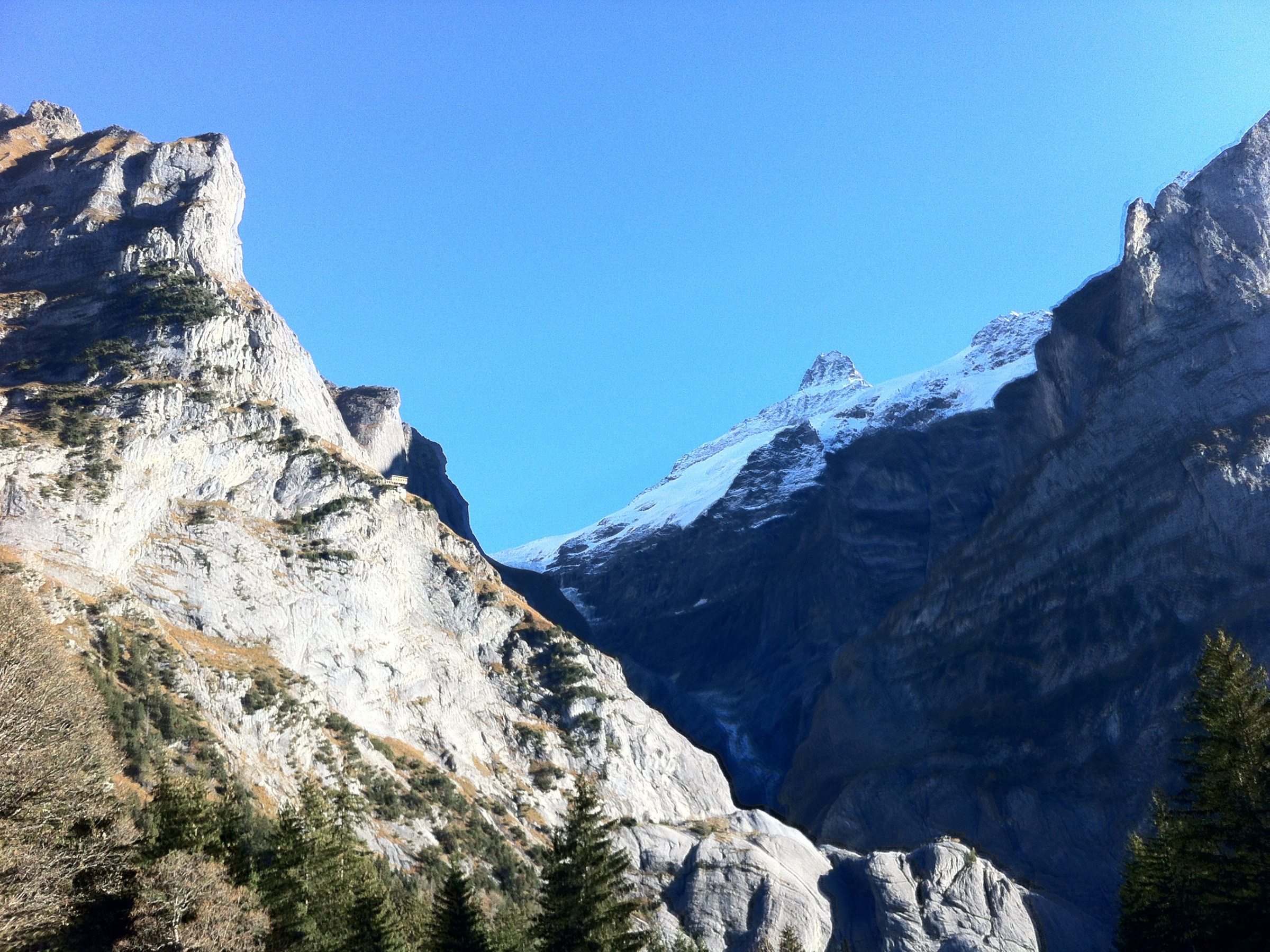
A view of Schreckhorn…

Going down to Grindelwald (1034m).

After 1500m up and 1000m down hike, my feet were tired but I was simply delighted, embraced by the view of breath-taking Bernese Oberland mountains.

